Karasura Glacier
Karasura Glacier (Bulgarian: ледник Карасура, romanized: lednik Karasura, IPA: [ˈlɛdnik kɐrɐˈsurɐ]) is the 4 nautical miles (7.4 km; 4.6 mi) long and 1.4 nautical miles (2.6 km; 1.6 mi) wide glacier on the northeast side of Bastien Range in Ellsworth Mountains, Antarctica. It drains the north slopes of Bergison Peak and the east slopes of Patmos Peak, flows northwards, leaves the range and enters the southeast flowing Nimitz Glacier.
| Karasura Glacier | |
|---|---|
 Location of Bastien Range in Western Antarctica | |
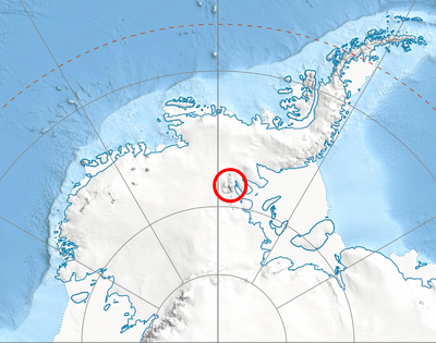
 Location of Karasura Glacier in Antarctica | |
| Type | tributary |
| Location | Ellsworth Land |
| Coordinates | 78°48′42″S 85°47′50″W |
| Length | 4 nautical miles (7.4 km; 4.6 mi) |
| Width | 1.4 nautical miles (2.6 km; 1.6 mi) |
| Thickness | unknown |
| Terminus | Nimitz Glacier |
| Status | unknown |

Map of Sentinel Range and Bastien Range.
The glacier is named after the ancient Roman and medieval settlement of Karasura in Southern Bulgaria.
Location
Karasura Glacier is centred at 78°48′42″S 85°47′50″W. US mapping in 1961 and 1988.
Maps
- Vinson Massif. Scale 1:250 000 topographic map. Reston, Virginia: US Geological Survey, 1988.
- Antarctic Digital Database (ADD). Scale 1:250000 topographic map of Antarctica. Scientific Committee on Antarctic Research (SCAR). Since 1993, regularly updated.
References
- Karasura Glacier SCAR Composite Gazetteer of Antarctica
- Bulgarian Antarctic Gazetteer. Antarctic Place-names Commission. (details in Bulgarian, basic data in English)
External links
- Karasura Glacier. Copernix satellite image
This article includes information from the Antarctic Place-names Commission of Bulgaria which is used with permission.
| Types |
| ||||||
|---|---|---|---|---|---|---|---|
| Anatomy |
| ||||||
| Processes | |||||||
| Measurements | |||||||
| Volcanic relations | |||||||
| Landforms |
| ||||||
| |||||||
This article is issued from Wikipedia. The text is licensed under Creative Commons - Attribution - Sharealike. Additional terms may apply for the media files.