Gourdon Glacier
Gourdon Glacier (64°15′S 57°22′W) is a glacier 4 nautical miles (7 km) long on the east side of James Ross Island, flowing southeast into Markham Bay between Saint Rita Point and Rabot Point. It has a conspicuous rock wall at its head. The glacier was first surveyed by the Swedish Antarctic Expedition under Otto Nordenskiöld, 1901–04, who named it for Ernest Gourdon, geologist and glaciologist of the French Antarctic Expedition, 1903–05.[1]
| Gourdon Glacier | |
|---|---|
 James Ross Island group, northeastern Antarctic Peninsula | |
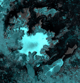
 Location of Gourdon Glacier in Antarctica | |
| Location | James Ross Island |
| Coordinates | 64°15′S 57°22′W |
| Length | 4 nmi (7 km; 5 mi) |
| Thickness | unknown |
| Terminus | Markham Bay |
| Status | unknown |
References
- "Gourdon Glacier". Geographic Names Information System. United States Geological Survey. Retrieved 2012-05-02.
![]()
| Types |
| ||||||
|---|---|---|---|---|---|---|---|
| Anatomy |
| ||||||
| Processes | |||||||
| Measurements | |||||||
| Volcanic relations | |||||||
| Landforms |
| ||||||
| |||||||
This article is issued from Wikipedia. The text is licensed under Creative Commons - Attribution - Sharealike. Additional terms may apply for the media files.