Bussey Glacier
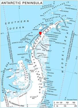
Bussey Glacier (65°16′S 64°1′W) is a glacier flowing west from Mount Peary to the head of Waddington Bay on Kiev Peninsula on the west coast of Graham Land. It was first charted by the French Antarctic Expedition under Jean-Baptiste Charcot, 1908–10, and named by the UK Antarctic Place-Names Committee in 1959 for Group Captain John Bussey of the Directorate of Overseas Surveys.
| Bussey Glacier | |
|---|---|
 Location of Kiev Peninsula in Graham Land, Antarctic Peninsula | |
 Location of Bussey Glacier in Antarctica | |
| Location | Graham Land |
| Coordinates | 65°16′00″S 64°1′00″W |
| Thickness | unknown |
| Highest elevation | 454 m (1,490 ft) |
| Terminus | Waddington Bay |
| Status | unknown |
References

External links
This article is issued from Wikipedia. The text is licensed under Creative Commons - Attribution - Sharealike. Additional terms may apply for the media files.