Holmes Glacier
| Holmes Glacier | |
|---|---|
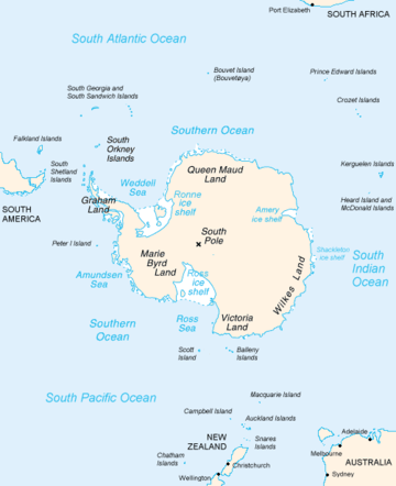 Map of Antarctica, with Wilkes Land slightly to the right | |
 Location of Holmes Glacier in Antarctica | |
| Location | Wilkes Land |
| Coordinates | 66°46′00″S 126°54′00″E / 66.76667°S 126.90000°E / -66.76667; 126.90000 |
| Thickness | unknown |
| Terminus | Porpoise Bay |
| Status | unknown |
Holmes Glacier (66°46′S 126°54′E / 66.767°S 126.900°E / -66.767; 126.900Coordinates: 66°46′S 126°54′E / 66.767°S 126.900°E / -66.767; 126.900) is a broad glacier debouching into the western part of Porpoise Bay about 10 nautical miles (20 km) south of Cape Spieden. It was delineated from aerial photographs taken by U.S. Navy Operation Highjump (1946–47), and was named by the Advisory Committee on Antarctic Names after Dr. Silas Holmes, Assistant Surgeon on the brig Porpoise during the United States Exploring Expedition (1838–42) under Lieutenant Charles Wilkes.[1]
See also
References
- ↑ "Holmes Glacier". Geographic Names Information System. United States Geological Survey. Retrieved 2012-06-22.

| Types | |||||||
|---|---|---|---|---|---|---|---|
| Anatomy | |||||||
| Processes | |||||||
| Measurements | |||||||
| Volcanic relations | |||||||
| Landforms |
| ||||||
| |||||||
This article is issued from
Wikipedia.
The text is licensed under Creative Commons - Attribution - Sharealike.
Additional terms may apply for the media files.