Snedeker Glacier
| Snedeker Glacier | |
|---|---|
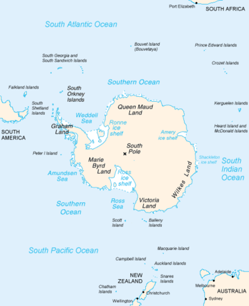 Map of Antarctica, with Wilkes Land slightly to the right | |
 Location of Snedeker Glacier in Antarctica | |
| Type | channel |
| Location | Wilkes Land |
| Coordinates | 66°28′00″S 106°48′00″E / 66.46667°S 106.80000°E / -66.46667; 106.80000 |
| Thickness | unknown |
| Status | unknown |
Snedeker Glacier (66°28′S 106°48′E / 66.467°S 106.800°E / -66.467; 106.800Coordinates: 66°28′S 106°48′E / 66.467°S 106.800°E / -66.467; 106.800) is a channel glacier flowing to the Antarctic coast 9 nautical miles (17 km) west of Merritt Island. Mapped (1955) by G.D. Blodgett from air photos taken by U.S. Navy Operation Highjump (1946–47). Named by Advisory Committee on Antarctic Names (US-ACAN) for Robert H. Snedeker, photo interpreter with U.S. Navy Operation Windmill (1947–48), who assisted in establishing astronomical control stations along the coast from Wilhelm II Coast to Budd Coast.
See also
References

| Types | |||||||
|---|---|---|---|---|---|---|---|
| Anatomy | |||||||
| Processes | |||||||
| Measurements | |||||||
| Volcanic relations | |||||||
| Landforms |
| ||||||
| |||||||
This article is issued from
Wikipedia.
The text is licensed under Creative Commons - Attribution - Sharealike.
Additional terms may apply for the media files.