Robinson Glacier
| Robinson Glacier | |
|---|---|
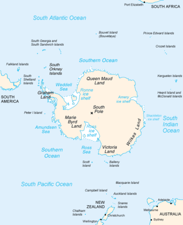 Map of Antarctica, with Wilkes Land slightly to the right | |
 Location of Robinson Glacier in Antarctica | |
| Type | channel |
| Location | Wilkes Land |
| Coordinates | 66°30′00″S 107°16′00″E / 66.50000°S 107.26667°E / -66.50000; 107.26667 |
| Length | 8 nautical miles (15 km; 9.2 mi) |
| Width | 4 nautical miles (7.4 km; 4.6 mi) |
| Thickness | unknown |
| Terminus | between Merritt Island and Reist Rocks |
| Status | unknown |
Robinson Glacier (66°30′S 107°16′E / 66.500°S 107.267°E / -66.500; 107.267Coordinates: 66°30′S 107°16′E / 66.500°S 107.267°E / -66.500; 107.267) is a channel glacier flowing to the Antarctic coast between Merritt Island and Reist Rocks. It was mapped in 1955 by G.D. Blodgett from air photos taken by U.S. Navy Operation Highjump (1946–47), and was named by the Advisory Committee on Antarctic Names (US-ACAN) for R.P. Robinson, Purser's Steward of the ship Vincennes on the United States Exploring Expedition under Lieutenant Charles Wilkes, 1838-42.
See also
References

| Types | |||||||
|---|---|---|---|---|---|---|---|
| Anatomy | |||||||
| Processes | |||||||
| Measurements | |||||||
| Volcanic relations | |||||||
| Landforms |
| ||||||
| |||||||
This article is issued from
Wikipedia.
The text is licensed under Creative Commons - Attribution - Sharealike.
Additional terms may apply for the media files.