Kagaru, Queensland
| Kagaru Queensland | |||||||||||||||
|---|---|---|---|---|---|---|---|---|---|---|---|---|---|---|---|
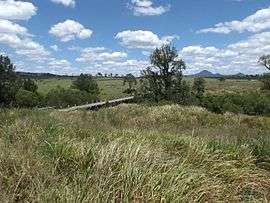 Teviot Brook crossing, 2016 | |||||||||||||||
| Established | 1997 | ||||||||||||||
| Postcode(s) | 4285 | ||||||||||||||
| LGA(s) | City of Logan, Scenic Rim Region | ||||||||||||||
| State electorate(s) | |||||||||||||||
| Federal Division(s) | Wright | ||||||||||||||
| |||||||||||||||
Kagaru is a rural locality split between Scenic Rim Region and City of Logan , Queensland, Australia.[1][2]
Geography
Kagaru's eastern border is marked by the Sydney–Brisbane rail corridor, the Logan River and Teviot Brook. There is very little development in the area.
History
In the 1930s, a railway station in the area was named Kagaru, an Aboriginal word for the blue-winged kookaburra. In 1996, the locality was formally bounded and took the name of the railway station.[3]
Formerly in the Shire of Beaudesert, Kagaru became split between Logan City and Scenic Rim Region following the local government amalgamations in March 2008.
References
- ↑ "Kagaru - locality in the Scenic Rim Region (entry 45150)". Queensland Place Names. Queensland Government. Retrieved 28 September 2017.
- ↑ "Kagaru - locality in Logan City (entry 45302)". Queensland Place Names. Queensland Government. Retrieved 28 September 2017.
- ↑ "Kagaru". Suburbs. Logan City Council. Retrieved 6 May 2014.
Coordinates: 27°51′40″S 152°54′39″E / 27.8612°S 152.9109°E
This article is issued from
Wikipedia.
The text is licensed under Creative Commons - Attribution - Sharealike.
Additional terms may apply for the media files.