Cook Glacier (South Georgia)
Not to be confused with Cook Ice Cap in the Kerguelen Islands.
| Cook Glacier | |
|---|---|
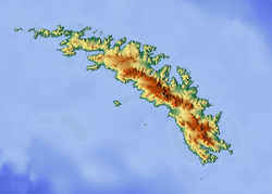 Location of Cook Glacier in South Georgia | |
| Location | South Georgia |
| Coordinates | 54°27′S 36°11′W / 54.450°S 36.183°W / -54.450; -36.183 |
| Thickness | unknown |
| Terminus | St Andrews Bay |
| Status | unknown |
Cook Glacier (54°27′S 36°11′W / 54.450°S 36.183°W / -54.450; -36.183Coordinates: 54°27′S 36°11′W / 54.450°S 36.183°W / -54.450; -36.183) is a glacier which flows in a north-northeasterly direction to Saint Andrews Bay on the north coast of South Georgia. It was named by the German group of the International Polar Year Investigations based at nearby Moltke Harbour in 1882–83, for Captain James Cook.[1]
See also
References
- ↑ "Clayton Glacier, Antarctica". Geographical Names. Retrieved 21 January 2018.

This article is issued from
Wikipedia.
The text is licensed under Creative Commons - Attribution - Sharealike.
Additional terms may apply for the media files.