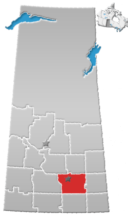
Rural Municipality of Sherwood No. 159
Sherwood Rural Municipality Number 159 is a rural municipality in southeastern Saskatchewan, Canada. It encircles and is an exurb of the city of Regina, the provincial capital. Also within the borders of Sherwood is the separately governed village of Grand Coulee. Sherwood is part of the Regina Census Metropolitan Area and the Regina Qu'Appelle Regional Health Authority Health Region.
The rural municipality is named after the Sherwood School District No. 460, the School District is named after Sherwood, Ontario where some of the early settlers to region originated from.[1]
Sherwood takes up 719.46 square kilometers, boasting heavy clay soils making it one of the richest farming areas in the province. The Wascana Valley and Wascana Creek crosses through Sherwood. Sherwood Forest Bridge crosses Wascana Creek within Sherwood.
An industrial park, the Sherwood Industrial Park, is a home to the steel manufacturer Evraz (formerly IPSCO), agricultural implement manufacturers and dealerships, trucking companies, and medical hazardous waste disposal facilities.
Communities
These communities lie within the geographical borders of Sherwood No. 159, but are technically not part of the rural municipality.
Statistics
| Canada census – Rural Municipality of Sherwood No. 159 community profile | |||
|---|---|---|---|
| 2006 | |||
| Population: | 1,075 (-2.0% from 2001) | ||
| Land area: | 719.32 km2 (277.73 sq mi) | ||
| Population density: | 1.5/km2 (3.9/sq mi) | ||
| Median age: | 41.3 (M: 38.5, F: 44.8) | ||
| Total private dwellings: | 374 | ||
| Median household income: | $59,986 | ||
| References: 2006[2] earlier[3] | |||
Heritage Properties
The rural municipality has two heritage properties:
- Boggy Creek School - Built in 1923 as a One-room school, the building was used as a school until 1965. After that point it was used by Regina Board of Education for an outdoor program. The site had an older school building dating back to 1886. The school is located 10 km northwest of Regina. The building is of brick construction based on a Waterman-Waterbury Company design.[4]
- Normand Farm Residence - Built in 1905 as a homestead the two story residence is made from field-stone and brick. Still in use as a residence the building is located on Zehner Road,[5]
References
- ↑ Sask Biz
- ↑ "2006 Community Profiles". Canada 2006 Census. Statistics Canada. March 30, 2011. Retrieved 2009-02-24.
- ↑ "2001 Community Profiles". Canada 2001 Census. Statistics Canada. February 17, 2012.
- ↑ Boggy Creek School
- ↑ Normand Farm Residence
External links
- Official website of Rural Municipality of Sherwood
- 2001 Census Community Profile (Statistics Canada)
- Map of Sherwood No. 159 at Statcan
Coordinates: 50°26′27″N 104°41′13″W / 50.44083°N 104.68694°W