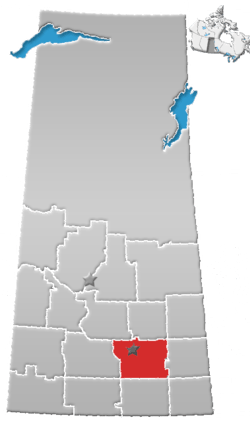
Rural Municipality of Cupar No. 218
Cupar No. 218 (2006 Population 502 ) is a rural municipality in Saskatchewan, Canada encompassing 919.01 square kilometers in area. The rural municipality maintains its office in Cupar, Saskatchewan.[1] The rural municipality in conjunction with the provincial government is in charge of maintenance of highways in its area. As well, the municipality provides policing, fire protection and municipal governance for the rural district, with a reeve as its administrator.
Statistics
| Canada census – Rural Municipality of Cupar No. 218 community profile | |||
|---|---|---|---|
| 2011 | 2006 | ||
| Population: | 554 (10.4% from 2006) | 502 (-8.7%% from 2001) | |
| Land area: | 918.45 km2 (354.62 sq mi) | 919.01 km2 (354.83 sq mi) | |
| Population density: | 0.6/km2 (1.6/sq mi) | 0.5/km2 (1.3/sq mi) | |
| Median age: | 42.8 (M: 43.7, F: 41.7) | 41.1 (M: 41.6, F: 40.6) | |
| Total private dwellings: | 252 | 201 | |
| Median household income: | $58,493 | ||
| References: 2011[2] 2006[3] earlier[4] | |||
Heritage Properties
There are two historical site located within the rural municipality:
References
- ↑ Saskatchewan Municipal Database
- ↑ "2011 Community Profiles". Canada 2011 Census. Statistics Canada. July 5, 2013. Retrieved 2012-08-08.
- ↑ "2006 Community Profiles". Canada 2006 Census. Statistics Canada. March 30, 2011.
- ↑ "2001 Community Profiles". Canada 2001 Census. Statistics Canada. February 17, 2012.
- ↑ Gregherd School
- ↑ Wheatwyn Church
Coordinates: 50°51′12″N 104°19′20″W / 50.85333°N 104.32222°W
This article is issued from
Wikipedia.
The text is licensed under Creative Commons - Attribution - Sharealike.
Additional terms may apply for the media files.