Rural Municipality of Leroy No. 339
Leroy No. 339, Saskatchewan is a rural municipality in central Saskatchewan, east of Saskatoon. Leroy No. 339 started out with the name Roach from January 1, 1913 until March 14, 1914 when the name changed to Ayr. Ayr remained the name after 1914 through until February 27, 1931 when it became Leroy No. 339.[1]
Statistics
According to the Canada 2006 Census:[2]
- Population: 544
- % Change (2001-2006): - 14.6
- Dwellings: 229
- Area (km².): 840.40
- Density (persons per km².): 0.6
Communities and localities
The following urban municipalities are surrounded by the Rural Municipality of Fertile Valley No. 285:
- none
- Leroy, (seat of municipality)
- none
- none
The following hamlets are located within the Rural Municipality of Fertile Valley No. 285:
- none
- none
- none
- Romance
- Shady Grove
- Sinnett
Saskatchewan Railways and Railway Stations
(historic or current)
- Lanigan - Naicam Branch C.P.R -- serves Lanigan, Sinnett, Leroy, Romance, Watson, Daphne, Spalding
Saskatchewan Highways and Roads
- For more information see also List of Saskatchewan provincial highways
- For more information see also List of Saskatchewan provincial roads
- Highway 761 -- East west highway through RM
- Highway 667 -- serves Jansen, Saskatchewan and St. Gregor, Saskatchewan North South through RM
See also
Footnotes
- ↑ "Renamed Rural Municipalities". Archived from the original on July 14, 2014. Retrieved January 17, 2012.
- ↑ "Leroy No. 339 Community Profile". Statistics Canada. Retrieved January 17, 2012.
- ↑ "Canadian Maps: January 1925 Waghorn's Guide. Post Offices in Man. Sask. Alta. and West Ontario". Retrieved January 17, 2012.
- ↑ Eversoft Streets and Trips
External links
| Towns | 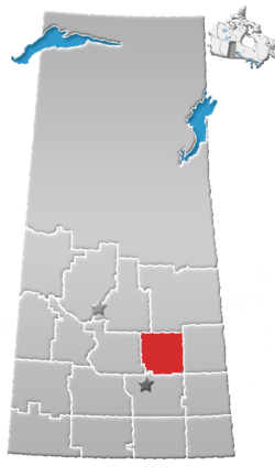 | ||||
|---|---|---|---|---|---|
| Villages | |||||
| Resort villages | |||||
| Rural municipalities | |||||
| Unincorporated communities |
| ||||
Coordinates: 52°00′27″N 104°44′30″W / 52.00750°N 104.74167°W
This article is issued from
Wikipedia.
The text is licensed under Creative Commons - Attribution - Sharealike.
Additional terms may apply for the media files.