Larson Glacier
Not to be confused with Larsen Glacier.
| Larson Glacier | |
|---|---|
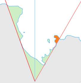 Location of King Edward VII Land (marked in orange) within the Ross Dependency | |
 Location of Larson Glacier in Antarctica | |
| Type | tributary |
| Location | King Edward VII Land |
| Coordinates | 77°28′S 154°00′W / 77.467°S 154.000°W / -77.467; -154.000 |
| Thickness | unknown |
| Terminus | Butler Glacier |
| Status | unknown |
Larson Glacier (77°28′S 154°0′W / 77.467°S 154.000°W / -77.467; -154.000Coordinates: 77°28′S 154°0′W / 77.467°S 154.000°W / -77.467; -154.000) is a tributary glacier that drains northwest from La Gorce Peak in the Alexandra Mountains of Antarctica and enters the south side of Butler Glacier, on Edward VII Peninsula. It was mapped by the United States Geological Survey from surveys and U.S. Navy air photos, 1959–65, and was named by the Advisory Committee on Antarctic Names for helicopter pilot Lieutenant Commander Conrad S. Larson, U.S. Navy, officer in charge of the helicopter detachment aboard the icebreaker USCGC Eastwind during Operation Deep Freeze, 1955–56.[1]
See also
References
- ↑ "Larson Glacier". Geographic Names Information System. United States Geological Survey. Retrieved 2013-06-03.

| Types | |||||||
|---|---|---|---|---|---|---|---|
| Anatomy | |||||||
| Processes | |||||||
| Measurements | |||||||
| Volcanic relations | |||||||
| Landforms |
| ||||||
| |||||||
This article is issued from
Wikipedia.
The text is licensed under Creative Commons - Attribution - Sharealike.
Additional terms may apply for the media files.