Woomargama National Park
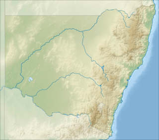
Woomargama National Park is a national park situated 20 kilometres (12 mi) south east of Holbrook and 30 kilometres (19 mi) north east of Albury, in the South West Slopes region of southern New South Wales.[1] Southern extremities of the park are within one kilometre of Lake Hume which is formed on the Murray River. The park extends over approximately 30 km from eastern to western boundaries and 15 km in a north to south direction. In 2006, the park covered an area of 23,577 hectares and at the same time an area of associated reserve covered 7,120 hectares. In 2010 the park alone covered 24,185 ha.
| Woomargama New South Wales | |
|---|---|
IUCN category II (national park) | |
 Woomargama | |
| Nearest town or city | Woomargama |
| Coordinates | 35°52′17.16″S 147°29′7.28″E |
| Established | January 2001 |
| Area | 241.85 km2 (93.4 sq mi) |
| Managing authorities | New South Wales National Parks and Wildlife Service |
| See also | Protected areas of New South Wales |
Woomargama was gazetted, from the formation of Woomargama, Dora Dora and Tipperary State Forests along with other Crown Land portions, in January 2001 as part of the Southern Regional Forest Agreement in 2000.[2]
References
- "Woomargama National Park". New South Wales Government. Department of Environment, Climate Change and Water. Retrieved 3 October 2009.
- Woomargama National Park and Reserve and Mullengandra Nature Reserve and Reserve Draft Plan of Management (PDF). New South Wales Government. Department of Environment, Climate Change and Water. November 2006. ISBN 1-74122-028-9.
See also
- Protected areas of New South Wales (Australia)