Darbalara, New South Wales
Darbalara is a rural community on the east bank of the junction of the Murrumbidgee River and Tumut River in the Riverina. It is situated by road, about 25 kilometres north east of Gundagai and 25 kilometres south of Coolac.

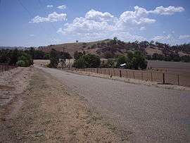
Darbalara telephone exchange
| Darbalara New South Wales | |
|---|---|
 Darbalara | |
| Coordinates | 35°02′S 148°13′E |
| Postcode(s) | 2722 |
| Elevation | 303 m (994 ft) |
| Location |
|
| LGA(s) | Cootamundra-Gundagai Regional Council |
| County | Buccleuch |
| State electorate(s) | Cootamundra |
| Federal Division(s) | Riverina |
There are no public buildings in Darbalara other than the telephone exchange. A number of properties running sheep and cattle are located in the area.
Darbalara Post Office opened on 25 April 1912 and closed in 1962.[1]
Darbalara is within Wagara Parish a civil parish of Buccleuch County, New South Wales.[2][3]
Notes and references
- Premier Postal History, Post Office List, retrieved 11 June 2009
- Robert McLean, The New atlas of Australia : the complete work containing over one hundred maps and full descriptive geography of New South Wales, Victoria, Queensland, South Australia and Western Australia, together with numerous illustrations and copious indices (Sydney :J. Sands, [1886) Map 11.
- "Harden County". Geographical Names Register (GNR) of NSW. Geographical Names Board of New South Wales.

| Wikimedia Commons has media related to Darbalara, New South Wales. |
This article is issued from Wikipedia. The text is licensed under Creative Commons - Attribution - Sharealike. Additional terms may apply for the media files.