Methul, New South Wales
Methul is a locality in the central north part of the Riverina region of south west New South Wales, Australia. It is situated by road, about 14 kilometres (8.7 mi) west of Rannock and 34 kilometres (21 mi) south of Ariah Park.
| Methul New South Wales | |
|---|---|
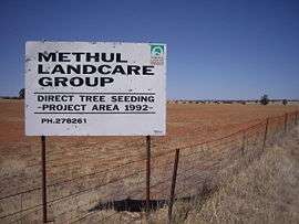 Methul is red soil wheat country in the Riverina | |
Methul | |
| Coordinates | 34°36′S 147°09′E |
| Postcode(s) | 2701 |
| Elevation | 275 m (902 ft) |
| Location |
|
| LGA(s) | Coolamon Shire |
| County | Cooper |
| State electorate(s) | Cootamundra |
| Federal Division(s) | Riverina |
This article is issued from Wikipedia. The text is licensed under Creative Commons - Attribution - Sharealike. Additional terms may apply for the media files.