Orsonville
| Orsonville | |
|---|---|
| Commune | |
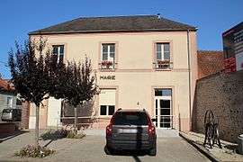 The town hall in Orsonville | |
 Orsonville Location within Île-de-France region  Orsonville | |
| Coordinates: 48°28′43″N 1°50′09″E / 48.4786°N 1.8358°ECoordinates: 48°28′43″N 1°50′09″E / 48.4786°N 1.8358°E | |
| Country | France |
| Region | Île-de-France |
| Department | Yvelines |
| Arrondissement | Rambouillet |
| Canton | Rambouillet |
| Intercommunality | Contrée d'Ablis-Porte des Yvelines |
| Government | |
| • Mayor (2001–2007) | Pascal Bourgy |
| Area1 | 9.61 km2 (3.71 sq mi) |
| Population (2006)2 | 300 |
| • Density | 31/km2 (81/sq mi) |
| Time zone | UTC+1 (CET) |
| • Summer (DST) | UTC+2 (CEST) |
| INSEE/Postal code | 78472 /78660 |
| Elevation |
140–159 m (459–522 ft) (avg. 150 m or 490 ft) |
|
1 French Land Register data, which excludes lakes, ponds, glaciers > 1 km2 (0.386 sq mi or 247 acres) and river estuaries. 2 Population without double counting: residents of multiple communes (e.g., students and military personnel) only counted once. | |
Orsonville is a commune in the Yvelines department in the Île-de-France region in north-central France.
See also
References
| Wikimedia Commons has media related to Orsonville. |
This article is issued from
Wikipedia.
The text is licensed under Creative Commons - Attribution - Sharealike.
Additional terms may apply for the media files.