Montainville, Yvelines
| Montainville | ||
|---|---|---|
| Commune | ||
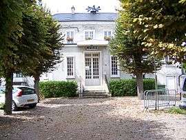 The town hall in Montainville | ||
| ||
 Montainville Location within Île-de-France region  Montainville | ||
| Coordinates: 48°52′55″N 1°51′40″E / 48.882°N 1.861°ECoordinates: 48°52′55″N 1°51′40″E / 48.882°N 1.861°E | ||
| Country | France | |
| Region | Île-de-France | |
| Department | Yvelines | |
| Arrondissement | Saint-Germain-en-Laye | |
| Canton | Aubergenville | |
| Government | ||
| • Mayor (2001–2008) | Pascale Oger | |
| Area1 | 4.79 km2 (1.85 sq mi) | |
| Population (2006)2 | 568 | |
| • Density | 120/km2 (310/sq mi) | |
| Time zone | UTC+1 (CET) | |
| • Summer (DST) | UTC+2 (CEST) | |
| INSEE/Postal code | 78415 /78124 | |
| Elevation |
37–131 m (121–430 ft) (avg. 137 m or 449 ft) | |
|
1 French Land Register data, which excludes lakes, ponds, glaciers > 1 km2 (0.386 sq mi or 247 acres) and river estuaries. 2 Population without double counting: residents of multiple communes (e.g., students and military personnel) only counted once. | ||

Montainville is a commune in the Yvelines department in the Île-de-France region in north-central France.
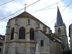
L'Assomption-de-la-Vierge Church
See also
References
| Wikimedia Commons has media related to Montainville (Yvelines). |
This article is issued from
Wikipedia.
The text is licensed under Creative Commons - Attribution - Sharealike.
Additional terms may apply for the media files.