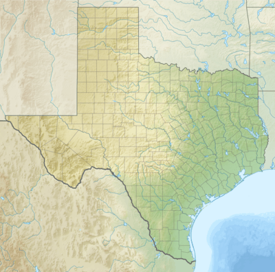
Butler Place Historic District
|
Butler Place Historic District | |
|
Butler Place in 2013 | |
 Butler Place Historic District  Butler Place Historic District | |
| Location | Roughly bounded by Luella St., I.M. Terrell Way Cir. M., 19th St. & I 35W,, Fort Worth, Texas |
|---|---|
| Coordinates | 32°44′59″N 97°19′1″W / 32.74972°N 97.31694°WCoordinates: 32°44′59″N 97°19′1″W / 32.74972°N 97.31694°W |
| Area | 20 acres (8.1 ha) |
| Built | 1940 |
| Architect | W.G. Clarkson, C.O. Chromaster, J.R. Pelich, H.H. Crane, P. Geren |
| Architectural style | Colonial Revival, Moderne |
| NRHP reference # | 11000514[1] |
| Added to NRHP | August 4, 2011 |
Butler Place Historic District is located east of the central business district in Fort Worth, Texas. Before the housing community was built, the area was known as Chambers Hill. In the 1930s, Chambers Hill was notorious for squalid housing and prostitution. In 1938, as a result of the dire circumstances in the area, the Fort Worth Chamber of Commerce lobbied the Public Works Administration to help clear the dilapidated housing in Chambers Hill and replace it with low-rent housing. Financed by local and federal money, Butler Place opened in 1941. When it opened, rents ranged from $15.50 to $16.75 per month. The housing project was named after Henry H. Butler, an educator and Civil War veteran, who settled in Fort Worth after the war. It was added to the National Register of Historic Places on August 4, 2011.
See also
References
- ↑ National Park Service (2013-11-02). "National Register Information System". National Register of Historic Places. National Park Service.
2. Selcer, Richard "Fort Worth" ISBN 0-87611-197-5
External links
![]()

