Stewart Glacier
Stewart Glacier (77°29′S 151°25′W) is a glacier on the north side of Edward VII Peninsula, flowing northeast along the east side of Howard Heights into Sulzberger Ice Shelf mapped by United States Geological Survey (USGS) from surveys and U.S. Navy air photos, 1959–65. Named by Advisory Committee on Antarctic Names (US-ACAN) for Lieutenant Commander Wayne B. Stewart, U.S. Navy, co-pilot in LC-130F Hercules aircraft during Operation Deep Freeze 1968.
| Stewart Glacier | |
|---|---|
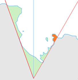 Location of King Edward VII Land (marked in orange) within the Ross Dependency | |
 Location of Stewart Glacier in Antarctica | |
| Location | King Edward VII Land |
| Coordinates | 77°29′S 151°25′W |
| Thickness | unknown |
| Terminus | Sulzberger Ice Shelf |
| Status | unknown |
References


| Types |
| ||||||
|---|---|---|---|---|---|---|---|
| Anatomy |
| ||||||
| Processes | |||||||
| Measurements | |||||||
| Volcanic relations | |||||||
| Landforms |
| ||||||
| |||||||
This article is issued from Wikipedia. The text is licensed under Creative Commons - Attribution - Sharealike. Additional terms may apply for the media files.