Villeny
| Villeny | |
|---|---|
| Commune | |
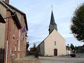 The town hall and church in Villeny | |
 Villeny Location within Centre-Val de Loire region  Villeny | |
| Coordinates: 47°37′25″N 1°45′20″E / 47.6236°N 1.7556°ECoordinates: 47°37′25″N 1°45′20″E / 47.6236°N 1.7556°E | |
| Country | France |
| Region | Centre-Val de Loire |
| Department | Loir-et-Cher |
| Arrondissement | Romorantin-Lanthenay |
| Canton | Chambord |
| Intercommunality | Communauté de communes de la Sologne des étangs |
| Government | |
| • Mayor | Alain Blanche |
| Area1 | 33.98 km2 (13.12 sq mi) |
| Population (1999)2 | 334 |
| • Density | 9.8/km2 (25/sq mi) |
| Time zone | UTC+1 (CET) |
| • Summer (DST) | UTC+2 (CEST) |
| INSEE/Postal code | 41285 /41220 |
| Elevation |
93–136 m (305–446 ft) (avg. 130 m or 430 ft) |
|
1 French Land Register data, which excludes lakes, ponds, glaciers > 1 km2 (0.386 sq mi or 247 acres) and river estuaries. 2 Population without double counting: residents of multiple communes (e.g., students and military personnel) only counted once. | |
Villeny is a commune in the Loir-et-Cher department in central France.
See also
| Wikimedia Commons has media related to Villeny. |
This article is issued from
Wikipedia.
The text is licensed under Creative Commons - Attribution - Sharealike.
Additional terms may apply for the media files.