Saint-Hilaire-les-Andrésis
| Saint-Hilaire-les-Andrésis | ||
|---|---|---|
| Commune | ||
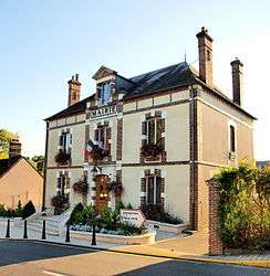 The town hall in Saint-Hilaire-les-Andrésis | ||
| ||
 Saint-Hilaire-les-Andrésis Location within Centre-Val de Loire region  Saint-Hilaire-les-Andrésis | ||
| Coordinates: 48°03′15″N 3°00′49″E / 48.0542°N 3.0136°ECoordinates: 48°03′15″N 3°00′49″E / 48.0542°N 3.0136°E | ||
| Country | France | |
| Region | Centre-Val de Loire | |
| Department | Loiret | |
| Arrondissement | Montargis | |
| Canton | Courtenay | |
| Government | ||
| • Mayor (2008–2014) | Lionel de Rafelis | |
| Area1 | 25.71 km2 (9.93 sq mi) | |
| Population (2004)2 | 863 | |
| • Density | 34/km2 (87/sq mi) | |
| Time zone | UTC+1 (CET) | |
| • Summer (DST) | UTC+2 (CEST) | |
| INSEE/Postal code | 45281 /45320 | |
| Elevation |
123–177 m (404–581 ft) (avg. 142 m or 466 ft) | |
|
1 French Land Register data, which excludes lakes, ponds, glaciers > 1 km2 (0.386 sq mi or 247 acres) and river estuaries. 2 Population without double counting: residents of multiple communes (e.g., students and military personnel) only counted once. | ||
.svg.png)
Saint-Hilaire-les-Andrésis is a commune in the Loiret department in north-central France.
See also
References
| Wikimedia Commons has media related to Saint-Hilaire-les-Andrésis. |
This article is issued from
Wikipedia.
The text is licensed under Creative Commons - Attribution - Sharealike.
Additional terms may apply for the media files.