Koshi Rural Municipality
| Koshi कोशी गाउँपालिका | |
|---|---|
| Rural Municipality | |
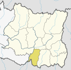
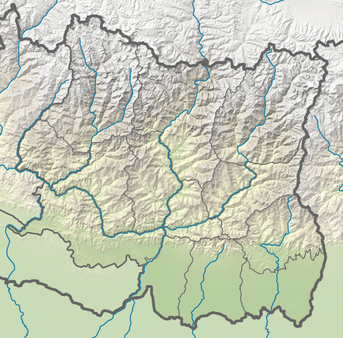 Koshi Location in Province No. 1 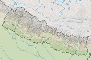 Koshi Koshi (Nepal) | |
| Coordinates: 26°36′N 87°04′E / 26.6°N 87.06°ECoordinates: 26°36′N 87°04′E / 26.6°N 87.06°E | |
| Province | Province No. 1 |
| District | Sunsari |
| Wards | 8 |
| Established | 10 March 2017 |
| Government | |
| • Type | Rural Council |
| • Chairperson | Mr. Ayub Ansari |
| • Vice-chairperson | Mrs. Anita Devi Yadav |
| Area | |
| • Total | 75.98 km2 (29.34 sq mi) |
| Population (2011) | |
| • Total | 43,626 |
| • Density | 570/km2 (1,500/sq mi) |
| Time zone | UTC+5:45 (Nepal Standard Time) |
| Headquarter | Laukahi |
| Website | official website |
Koshi (Nepali: कोशी गाउँपालिका) is a rural municipality (gaunpalika) out of six rural municipality located in Sunsari District of Province No. 1 of Nepal. There are a total of 12 municipalities in Sunsari in which 6 are urban and 6 are rural.
According to Ministry of Federal Affairs and Local Developme Koshi has an area of 75.98 square kilometres (29.34 sq mi) and the total population of the municipality is 43626 as of Census of Nepal 2011. [1] [2]
Laukahi, Paschim Kasuha, Sripurjabdi and Haripur which previously were all separate Village development committee merged to form this new local level body. Fulfilling the requirement of the new Constitution of Nepal 2015, Ministry of Federal Affairs and Local Development replaced all old VDCs and Municipalities into 753 new local level body (Municipality).[1]
The rural municipality is divided into total 8 wards and the headquarter of this newly formed rural municipality is situated in Laukahi.[1]
References
- 1 2 3 "स्थानीय तहहरुको विवरण". www.mofald.gov.np/en. MoFALD. Retrieved 21 April 2018.
- ↑ "CITY POPULATION – statistics, maps & charts". www.citypopulation.de. 8 October 2017. Retrieved 21 April 2018.