Slieve Rushen
| Slieve Rushen | |
|---|---|
| Sliabh Roisean | |
 Slieve Rushen from Upper Lough Erne | |
| Highest point | |
| Elevation | 404 m (1,325 ft) |
| Prominence | 404 m (1,325 ft) |
| Listing | Marilyn |
| Geography | |
 Slieve Rushen Location in Ireland | |
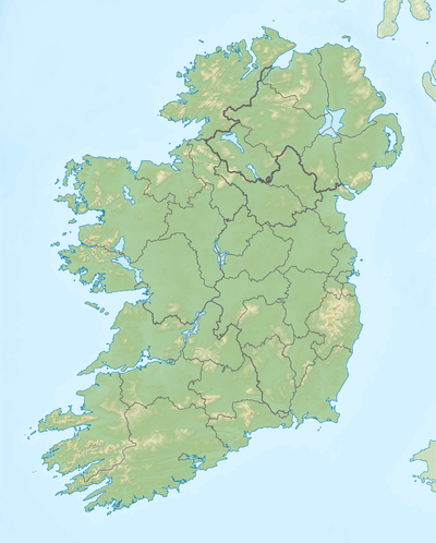
| Location | Cavan, Ireland |
| Parent range | Breifne Mountains |
Coordinates: 54°9′6.93″N 7°38′33.51″W / 54.1519250°N 7.6426417°W Slieve Rushen is a mountain which straddles the border between County Cavan in the Republic of Ireland and County Fermanagh in Northern Ireland. It is also called Slieve Russell or Ligavegra (Also Legavagra, Ligavagra). It has an elevation of 404 metres above sea-level. OS 1/50k Mapsheet: 27A & 26. Grid Ref: H234 226.[1] The mountain is made up of grey limestone with a cap of sandstone and shales and is extensively quarried by local companies. The surface is mostly covered with peat, pine forests and grazing fields.[2] The mountain contains several caves and swallow-holes including Pollnagollum (Slieve Rushen) and Tory Hole which are a popular destination for potholers. It forms part of the Slieve Rushen Bog Natural Heritage Area . A recent addition to the mountain is the Slieve Rushen Wind Farm for generating electricity.
Etymology
The name Slieve Rushen derives from the gaelic "Sliabh Ros-in" which means "The Mountain of the Little Wood". However an alternative explanation of the name is given in a Middle Irish text c.1400 from The Yellow Book of Lecan entitled The Settling of the Manor of Tara, in which verse 34 states "''daughter of Toga of the grey stormy sea, at that time ’twas a woman, she from whom Sliabh Raisen is named.".[3] The earliest surviving mention of the name occurs in the Annals of the Four Masters for the year 1111 AD. "A predatory excursion was made by Toirdhealbhach Ua Conchobhair and he plundered Tearmann-Dabheog. Another predatory excursion was made by him; and he plundered as far as Beann-Eachlabhra, Sliabh-Ruisen, and Loch-Eirne".[4]
History
The mountain has been inhabited since at least 3,000 B.C. as is evident from the ancient court cairns and wedge tombs still surviving, such as in the townlands of Doon (Tomregan), Aughrim and Aghnacally.[5]
In the 1609 Plantation of Ulster, Slieve Rushen formed part of lands which were granted to John Sandford of Castle Doe, Co. Donegal by letters patent dated 7 July 1613 (Pat. 11 James I – LXXI – 38, ‘Slewrussell’).[6] The grant basically included the top of the mountain only, as the townlands on the lower slopes had already been granted to other grantees in the Plantation, as appears on the 1609 Baronial maps.[7][8] [9] The mountain was later sold by Sandford to his wife's uncle Toby Caulfeild, 1st Baron Caulfeild, Master of the Ordnance and Caulfield had the sale confirmed by letters patent of 12 July 1620 (Pat. 19 James I. XI. 45 ‘Slewrussell’). Coincidentally the mountain was later part owned by John Sandford's daughter, Magdalen Gwyllym the wife of Thomas Gwyllym, the owner of the Ballyconnell estate.
After the Battle of Scarrifholis on 21 June 1650, at the end of the Irish Confederate Wars, the defeated Irish rebels scattered and according to the journal of Colonel Henry McTully O'Neill- After this, every one shifted for himself the best he could, except some parties who kept out about Sleaue Russell in Ulster, no general protection granted.[10]
See also

External links
References
- ↑ MountainViews: Slieve Rushen in area Breifne
- ↑ Breifne - Landscapes - Slieve Rushen
- ↑ http://www.ucd.ie/tlh/text/rib.eriu.4.001.t.text.html
- ↑ Annals of the Four Masters
- ↑ Aghnacally Wedge Tomb Info
- ↑
- ↑ "National Archives Dublin" (PDF).
- ↑ "Templeport Development Association - 1609 Baronial-Map".
- ↑
- ↑ page 213
![]()
