Donagh
Donagh
| |
|---|---|
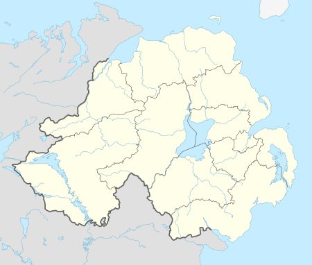 Donagh Donagh shown within Northern Ireland | |
| Population | 255 (2001 Census) |
| District | |
| County | |
| Country | Northern Ireland |
| Sovereign state | United Kingdom |
| Postcode district | BT |
| Dialling code | 028 |
| EU Parliament | Northern Ireland |
| UK Parliament | |
| NI Assembly | |
Donagh (pronounced /ˈdoʊnə/ DOH-nə, from Irish: Domhnach, meaning "church")[1][2] is a small village and townland in County Fermanagh, Northern Ireland. It lies between Lisnaskea and Newtownbutler in the south-east of County Fermanagh. In the 2001 Census it had a population of 255.[3] It is situated within Fermanagh and Omagh district.
There is another townland called Donagh in County Fermanagh as well as in County Monaghan in the Republic of Ireland.
Donagh was originally known in Irish as Ua Dúnáin Dhomhnaigh Maighe da Claoíne do Mharbhad (meaning 'O'Doonan's Church of the Plain of the Two Slopes'), later known in Irish as Domhnach Magh-da-Claine (meaning 'Church of the Plain of the Two Slopes'). It was originally anglicised as 'Donoghmoychinny' or 'Donaghmoyline'. It was later anglicised simply as Donagh.
Features
The village features two protected sites, one being Donagh House, a listed building, another an ancient ecclesiastical site featuring a ruined church and a graveyard.[4]
St. Patrick's is the local GAA club.
References
- ↑ Placenames NI Archived June 2, 2012, at the Wayback Machine.
- ↑ "Donagh". logainm.ie.
- ↑ NI Neighbourhood Information Service
- ↑ "Fermanagh Area Plan 2007 – Proposals: Donagh". Northern Ireland Planning Service. Retrieved 2009-03-26.