Saglivatnet
| Saglivatnet | |
|---|---|
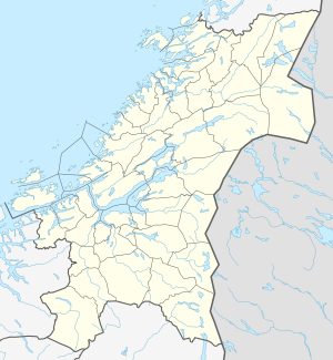
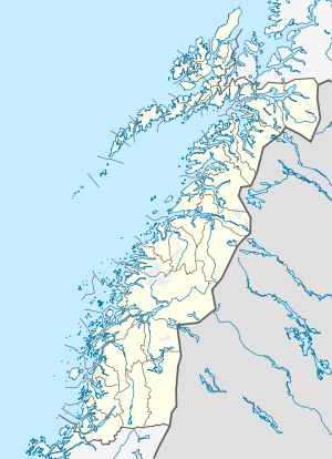
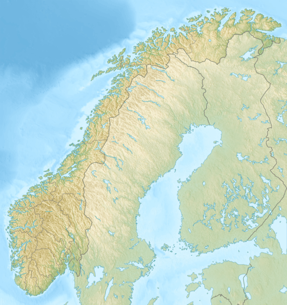
 Saglivatnet Location of the lake Show map of Trøndelag Saglivatnet Saglivatnet (Nordland) Show map of Nordland Saglivatnet Saglivatnet (Norway) Show map of Norway | |
| Location | Trøndelag and Nordland |
| Coordinates | 65°2′34″N 12°2′5″E / 65.04278°N 12.03472°E / 65.04278; 12.03472Coordinates: 65°2′34″N 12°2′5″E / 65.04278°N 12.03472°E / 65.04278; 12.03472 |
| Primary outflows | River Saglielva |
| Basin countries | Norway |
| Max. length | 3.7 kilometres (2.3 mi) |
| Max. width | 1 kilometre (0.62 mi) |
| Surface area | 2.16 km2 (0.83 sq mi) |
| Shore length1 | 13.22 kilometres (8.21 mi) |
| Surface elevation | 51 metres (167 ft) |
| References | NVE |
| 1 Shore length is not a well-defined measure. | |
Saglivatnet is a lake on the border of Trøndelag and Nordland counties in Norway. The 2.16-square-kilometre (0.83 sq mi) lake lies on the border of the municipalities of Nærøy (in Trøndelag county) and Bindal (in Nordland county). The water flows out to the north into the river Saglielva which flows into the Sørfjorden, an arm off the main Bindalsfjorden.[1]
See also
References
- ↑ "Saglivatnet, Nærøy (Trøndelag)" (in Norwegian). yr.no. Retrieved 2018-05-03.
This article is issued from
Wikipedia.
The text is licensed under Creative Commons - Attribution - Sharealike.
Additional terms may apply for the media files.