Rødungen
| Rødungen | |
|---|---|
 | |
| Location | Ål, Nore og Uvdal (Buskerud) |
| Coordinates | 60°29′57″N 8°38′4″E / 60.49917°N 8.63444°E / 60.49917; 8.63444Coordinates: 60°29′57″N 8°38′4″E / 60.49917°N 8.63444°E / 60.49917; 8.63444 |
| Basin countries | Norway |
| Surface area | 13.10 km2 (5.06 sq mi) |
| Shore length1 | 26.95 km (16.75 mi) |
| Surface elevation | 957 m (3,140 ft) |
| References | NVE |
| 1 Shore length is not a well-defined measure. | |
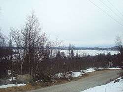
Rødungen is a lake in Buskerud county, Norway. The lake is located on the border between the municipalities of Ål and Nore og Uvdal. Waterfall from the lake is a power source for Usta kraftverk, a hydro-electric plant. The power station exploits the fall of the Usta river from Rødungen as well as Ustevatn.The plant started production in 1965 and is owned and operated by E- CO Energi. [1] [2]
References
External links
This article is issued from
Wikipedia.
The text is licensed under Creative Commons - Attribution - Sharealike.
Additional terms may apply for the media files.