Majavatnet
| Majavatnet | |
|---|---|
 | |
| Location | Grane, Nordland |
| Coordinates | 65°10′17″N 13°18′21″E / 65.17139°N 13.30583°E / 65.17139; 13.30583Coordinates: 65°10′17″N 13°18′21″E / 65.17139°N 13.30583°E / 65.17139; 13.30583 |
| Basin countries | Norway |
| Max. length | 6.5 kilometres (4.0 mi) |
| Max. width | 4.5 kilometres (2.8 mi) |
| Surface area | 16.6 km2 (6.4 sq mi) |
| Shore length1 | 50.37 kilometres (31.30 mi) |
| Surface elevation | 310 metres (1,020 ft) |
| References | NVE |
| 1 Shore length is not a well-defined measure. | |
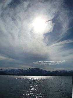
Majavatnet (Southern Sami: Maajehjaevrie) is a lake in the municipality of Grane in Nordland county, Norway. The 16.6-square-kilometre (6.4 sq mi) lake lies just west of Børgefjell National Park in southern Grane. The village of Majavatn lies on the eastern shore of the lake. European route E06 and the Nordland Line both run along the eastern shore of the lake.[1]
See also
References
- ↑ Store norske leksikon. "Majavatnet" (in Norwegian). Retrieved 2011-11-28.
This article is issued from
Wikipedia.
The text is licensed under Creative Commons - Attribution - Sharealike.
Additional terms may apply for the media files.