Holmavatnet (Vinje)
| Holmavatnet | |
|---|---|
 Holmavatnet Location of the lake 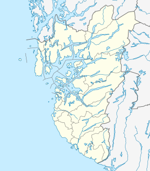 Holmavatnet Holmavatnet (Rogaland)  Holmavatnet Holmavatnet (Telemark)  Holmavatnet Holmavatnet (Norway) | |
| Location |
Bykle, Aust-Agder Suldal, Rogaland Vinje, Telemark |
| Coordinates | 59°41′36″N 7°08′56″E / 59.6932°N 07.1490°ECoordinates: 59°41′36″N 7°08′56″E / 59.6932°N 07.1490°E |
| Basin countries | Norway |
| Max. length | 20 kilometres (12 mi) |
| Max. width | 4.2 kilometres (2.6 mi) |
| Surface area | 11.13 km2 (4.30 sq mi) |
| Shore length1 | 36.65 kilometres (22.77 mi) |
| Surface elevation | 1,053 metres (3,455 ft) |
| References | NVE |
| 1 Shore length is not a well-defined measure. | |
Holmavatnet is a lake the Setesdalsheiene mountains of Southern Norway. It is located on the border of the municipalities of Suldal (in Rogaland county), Vinje (in Telemark county), and a small part in Bykle (in Aust-Agder county).[1] The southeastern corner of the lake is in Bykle, and it is the northernmost part of all of Aust-Agder county. The lake Skyvatn is located about 5 kilometres (3.1 mi) to the south of the lake.
The lake lies in a very isolated area with road access only from the village of Nesflaten in Suldal, about 20 kilometres (12 mi) to the southwest. The other villages that are located near the lake are Hovden in Bykle, about 18 kilometres (11 mi) to the southeast, Håra in Odda, Hordaland, about 25 kilometres (16 mi) to the northwest, and Edland in Vinje, about 22 kilometres (14 mi) to the northeast.
See also
References
- ↑ "Holmavatnet – innsjø i Suldal og Vinje kommuner" (in Norwegian). Store norske leksikon. Archived from the original on 2012-10-06. Retrieved 2010-05-16.