Phakphokthum
| Phakphokthum फाकफोकथुम गाउँपालिका | |
|---|---|
| Rural Municipality | |
 Phakphokthum Location in Province No. 1 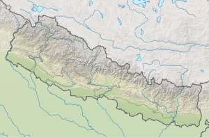 Phakphokthum Phakphokthum (Nepal) | |
| Coordinates: 26°59′5.81″N 87°43′10.2″E / 26.9849472°N 87.719500°ECoordinates: 26°59′5.81″N 87°43′10.2″E / 26.9849472°N 87.719500°E | |
| Province | Province No. 1 |
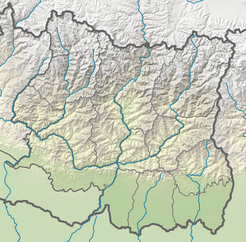
| District | Ilam |
| Wards | 7 |
| Established | 10 March 2017 |
| Government | |
| • Type | Village Council |
| • Chairperson | Mr. Ram Shrestha |
| • Vice-chairperson | Mrs. Saraswati Rai |
| Area | |
| • Total | 108.79 km2 (42.00 sq mi) |
| Population (2011) | |
| • Total | 21,619 |
| • Density | 200/km2 (510/sq mi) |
| Time zone | UTC+5:45 (Nepal Standard Time) |
| Area code(s) | 027 |
| Headquarter | Phakphok |
| Website | official website |
Phakphokthum (Nepali: फाकफोकथुम) is a rural municipality (Nepali: गाउँपालिका; gaunpalika) out of six rural municipality located in Ilam District of Province No. 1 of Nepal. There are a total of 10 municipalities in Ilam in which 4 are urban and 6 are rural.
According to Ministry of Federal Affairs and Local Development Phakphokthum has an area of 108.79 square kilometres (42.00 sq mi) and the total population of the municipality is 21619 as of Census of Nepal 2011. [1] [2]
Formerly Phakphokthum was a village development committee named Phakphok located in Ilam District in the Mechi Zone of eastern Nepal. Fulfilling the requirement of the new Constitution of Nepal 2015, Ministry of Federal Affairs and Local Development replaced all old VDCs and Municipalities into 753 new local level body (Municipality), thus Phakphok turned into rural municipality as Phakphokthum and the adjoining village development committees added to this. The adjoining VDCs added to this were: Amchok, Phuyatappa, Lumde, Ektappa and Chamaita. Currently, it has a total of 7 wards and Phakphok is the headquarter of this new formed rural municipality. Phakphokthum lies in the constituency number 2 of Ilam district. From this rural municipality, Mr Subash Nemwang was elected as a member of parliament in the election of 2017. This is one of the remotest villages of the District.
The Damak-Rabi Phagunanda Highway connects the municipality through shortest way with the southern plains. The span of the highway is about 45 km. The highway usually obstructs during the rainy season.
The major occupation of the people in this municipality is Agriculture. Now a days many of the youths are in foreign employment, due to which there is scarcity of labour force.
See also
External links
References
- ↑ "स्थानीय तहहरुको विवरण". www.mofald.gov.np/en. MoFALD. Retrieved 13 April 2018.
- ↑ "CITY POPULATION – statistics, maps & charts". www.citypopulation.de. 8 October 2017. Retrieved 13 April 2018.
Headquarter: Ilam | ||
| Rural Municipalities | 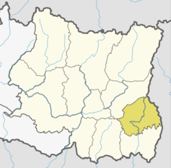 | |
| Municipalities | ||