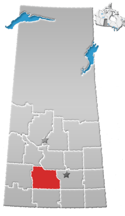
Rural Municipality of Excelsior No. 166
| Excelsior No. 166 Waldeck No. 166 | |
|---|---|
| Rural municipality | |
 Excelsior No. 166 | |
| Coordinates: 50°38′5″N 107°29′38″W / 50.63472°N 107.49389°WCoordinates: 50°38′5″N 107°29′38″W / 50.63472°N 107.49389°W | |
| Country | Canada |
| Province | Saskatchewan |
| Area | |
| • Total | 1,198.35 km2 (462.69 sq mi) |
| Population (2001) | |
| • Total | 855 |
| • Density | 0.71/km2 (1.8/sq mi) |
The Rural Municipality of Excelsior No. 166, Saskatchewan was originally called Waldeck No. 166, Saskatchewan and is now named Excelsior as of January 30, 1910. The original founding date of Pipestone was December 12, 1910[1] Up until December 31, 1967 the R.M. of Vermillion Hills No. 195 was to the south of the R.M. of Excelsior. The municipality of Vermillion Hills No. 195 was absorbed into Morse No. 165, Saskatchewan
Population
As of the census in 2001, there were 855 people living in the municipality of Excelsior No. 166, Saskatchewan.
Statistics
According to the Canada 2001 Census:
- Population: 855
- % Change (1996-2001): - 4.1
- Dwellings: 271
- Area (km²): 1,198.35
- Density (persons per km²): 0.7
Communities
- Villages;
- Resort Villages
- Unincorporated communities
- Main Centre
- New Main Centre
- Old Beaver Flat
- Old Main Centre
- Prairie View
Saskatchewan Railways and Railway Stations
(historic or current)
- C.P.R. West. -- serves Uren, Ernfold, Morse, Herbert, Rush Lake, Waldeck, Aikins, Swift Current
Saskatchewan Highways and Roads
- For more information see also List of Saskatchewan provincial highways
- For more information see also List of Saskatchewan provincial roads
- Highway 628—intersects with Highway 1
- Highway 1—serves Waldeck,Rush Lake, and Herbert
- Highway 812 -- Highway 1 serves Herbert
See also
Footnotes
External links
- Municipal Directory System
- Swift Current Gen Web
- Sarm
- Saskatchewan Rural Development
- RM Government from Municipal Directory System
- 2001 Census - Statistics Canada's page on the 2001 Census.
- Municipal Relations Division - RM Boundary Changes
- Saskatchewan Genealogy Society RM by Number
- MRD - Municipal Status Information - Rural Municipality
- SARM In Memoriam
- Map of Excelsior No. 166 at Statcan
This article is issued from
Wikipedia.
The text is licensed under Creative Commons - Attribution - Sharealike.
Additional terms may apply for the media files.