Beaver Flat
| Waldeck | |
|---|---|
| Resort Village | |
| Resort Village of Waldeck | |
 Waldeck  Waldeck | |
| Coordinates: 50°23′38″N 107°23′38″W / 50.394°N 107.394°W | |
| Country |
|
| Province |
|
| Region | South-central |
| Census division | 7 |
| Rural Municipality | Excelsior No. 166 |
| Government | |
| • Type | Municipal |
| • Governing body | Beaver Flat Village Council |
| • Mayor | Bill Bresett |
| • Administrator | Dianne Hahn |
| Area | |
| • Total | 0.92 km2 (0.36 sq mi) |
| Population (2016) | |
| • Total | 72 |
| • Density | 78.5/km2 (203/sq mi) |
| Time zone | UTC-6 (CST) |
| Postal code | S9H 3X1 |
| Area code(s) | 306 |
| Highways |
|
| Website | Resort Village of Beaver Flat |
| [1][2][3][4] | |
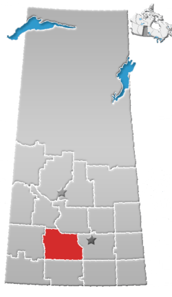
Beaver Flat is a resort village within the Rural Municipality of Excelsior No. 166, in the province of Saskatchewan, Canada. Bever Flat is located on the south shore of Lake Diefenbaker at the end of Highway 628, approximately 57 km (35 mi) north of Swift Current.
Demographics
| Canada census – Beaver Flat community profile | |||
|---|---|---|---|
| 2016 | 2011 | 2006 | |
| Population: | 72 (80.0% from 2011) | 40 (-31.0% from 2006) | 58 (% from 2001) |
| Land area: | 0.92 km2 (0.36 sq mi) | 0.92 km2 (0.36 sq mi) | 0.92 km2 (0.36 sq mi) |
| Population density: | 78.5/km2 (203/sq mi) | 43.6/km2 (113/sq mi) | 63.2/km2 (164/sq mi) |
| Median age: | 59.4 (M: 61.3, F: 58.5) | 56.0 (M: 58.5, F: 55.5) | |
| Total private dwellings: | 127 | 124 | 108 |
| Median household income: | |||
| References: 2016[5] 2011[6] 2006[7] earlier[8] | |||
See also
References
- ↑ National Archives, Archivia Net. "Post Offices and Postmasters". Retrieved 2014-08-21.
- ↑ Government of Saskatchewan, MRD Home. "Municipal Directory System". Retrieved 2014-08-21.
- ↑ Canadian Textiles Institute. (2005), CTI Determine your provincial constituency
- ↑ Commissioner of Canada Elections, Chief Electoral Officer of Canada (2005), Elections Canada On-line
- ↑ "2016 Community Profiles". Canada 2016 Census. Statistics Canada. February 21, 2017. Retrieved 2017-03-15.
- ↑ "2011 Community Profiles". Canada 2011 Census. Statistics Canada. July 5, 2013. Retrieved 2012-10-14.
- ↑ "2006 Community Profiles". Canada 2006 Census. Statistics Canada. March 30, 2011. Retrieved 2010-09-11.
- ↑ "2001 Community Profiles". Canada 2001 Census. Statistics Canada. February 17, 2012.
External links
- Resort Village of Beaver Flat - Official webpage
| Subdivisions | |
|---|---|
| Communities | |
| Cities | |
| Topics |
|
| |
Coordinates: 50°23′38″N 107°23′38″W / 50.394°N 107.394°W
This article is issued from
Wikipedia.
The text is licensed under Creative Commons - Attribution - Sharealike.
Additional terms may apply for the media files.