Coulter Glacier
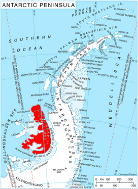
Coulter Glacier (69°20′S 71°47′W / 69.333°S 71.783°W / -69.333; -71.783Coordinates: 69°20′S 71°47′W / 69.333°S 71.783°W / -69.333; -71.783) is a steeply inclined glacier, 5 nautical miles (9 km) long, flowing south from the Havre Mountains, northern Alexander Island, into Kolokita Cove in Lazarev Bay, Antarctica. The glacier was photographed from the air by the Ronne Antarctic Research Expedition in 1947 and mapped from the photographs by the Falkland Islands Dependencies Survey in 1960. It was named by the Advisory Committee on Antarctic Names for R.W. Coulter, Master of USNS Alatna during U.S. Navy Operation Deepfreeze, 1969.[1]
See also
References
- ↑ "Coulter Glacier". Geographic Names Information System. United States Geological Survey. Retrieved 2011-11-29.
![]()