Chakpikarong
| Chakpikarong Duthu Kankhupam | |
|---|---|
| Town | |
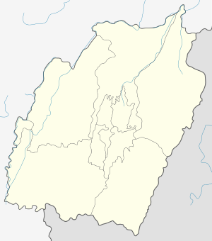 Chakpikarong Location in Manipur, India  Chakpikarong Chakpikarong (India) | |
| Coordinates: 24°19′N 93°59′E / 24.317°N 93.983°ECoordinates: 24°19′N 93°59′E / 24.317°N 93.983°E | |
| Country |
|
| State | Manipur |
| Founded by | Sumpi Dilthu |
| Town | Chandel |
| Government | |
| • Type | Democracy |
| • Body | Elected officials |
| Area rank | 23rd |
| Population (2011 census) | |
| • Total | 63,730 |
| Languages | |
| • Official | Anaal language (Naga) |
| Time zone | UTC+5:30 (IST) |
| ISO 3166 code | IN-MN-BI |
| Vehicle registration | MN |
| Website |
chandel |
Chakpikarong is a town and subdivision of Chandel district of Manipur state in northeastern India. The Anaal tribe is the majority in this region. Its history is deeply rooted with the history of the state. The literacy rate have boomed up in the recent years as transportation have developed.
Description
The place is inhabited by Anāl Naga tribe since time immemorial. Tuingan and Chapki river meet here. It is a developing area. It is the home of Yangoupokpi-Lokchao Wildlife Sanctuary, which has an area of 185 km2 (71.4 sq mi).[1]
Languages
Anaal is spoken here. It is a Sino-Tibetan. A total of 140,000 residents of India speak the language, and more people in Myanmar also speak it.[2]
References
- ↑ Indian Ministry of Forests and Environment. "Protected areas: Manipur". Archived from the original on October 9, 2011. Retrieved September 25, 2011.
- ↑ M. Paul Lewis, ed. (2009). "Anaal: A language of India". Ethnologue: Languages of the World (16th ed.). Dallas, Texas: SIL International. Retrieved 2011-09-28.
External links
Places adjacent to Chakpikarong | ||||||||||
|---|---|---|---|---|---|---|---|---|---|---|
| ||||||||||
This article is issued from
Wikipedia.
The text is licensed under Creative Commons - Attribution - Sharealike.
Additional terms may apply for the media files.