Sugnu
| Sugnu ꯁꯨꯒꯅꯨ | |
|---|---|
| town | |
| Nickname(s): ꯈꯥꯅ-ꯆꯥꯎꯕ | |
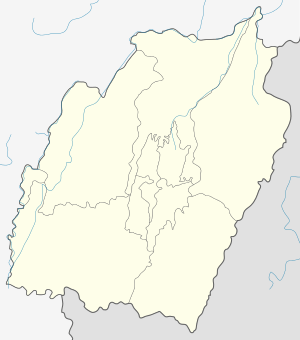 Sugnu Location in Manipur, India  Sugnu Sugnu (India) | |
| Coordinates: 24°20′16″N 93°52′06″E / 24.3379°N 93.86824°ECoordinates: 24°20′16″N 93°52′06″E / 24.3379°N 93.86824°E | |
| Country |
|
| State | Manipur |
| District | Kakching |
| Population (2001) | |
| • Total | 4,507 |
| Languages | |
| • Official | Meitei |
| Time zone | UTC+5:30 (IST) |
| Telephone code | 0091 |
| Vehicle registration | MN |
Sugnu (also spelt as Sugnoo) is a town in Kakching district in the Indian state of Manipur.
Geography
Sugnu is located at 24°20′16″N 93°52′06″E / 24.3379°N 93.86824°E.[1] It has an average altitude of 764 metres (2509 feet). The town is about 74 km from the capital of Manipur, Imphal. The Imphal River passes through Sugnu.
Transportation
Sugnu is well connected with the capital of Manipur through the Imphal-Sugnu State Highway.
Politics
Sugnu is part of Outer Manipur (Lok Sabha constituency).[2]
References
- ↑ Falling Rain Genomics, Inc - Shuganu
- ↑ "Assembly Constituencies - Corresponding Districts and Parliamentary Constituencies" (PDF). Manipur. Election Commission of India.
This article is issued from
Wikipedia.
The text is licensed under Creative Commons - Attribution - Sharealike.
Additional terms may apply for the media files.