North Somerset
| North Somerset | |
|---|---|
| Unitary authority area | |
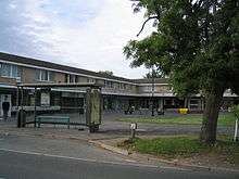
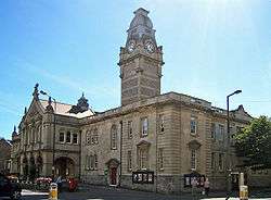 Weston-super-Mare Town Hall | |
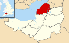 North Somerset shown in Somerset | |
| Coordinates: Coordinates: 51°23′N 2°48′W / 51.39°N 2.80°W | |
| Sovereign state | United Kingdom |
| Constituent country | England |
| Region | South West England |
| Ceremonial county | Somerset |
| Admin HQ | Weston-super-Mare |
| Created | 1 April 1996 |
| Government | |
| • Type | Unitary Authority |
| • Leader | Nigel Ashton |
| • Council | Conservative |
| • MPs: | John Penrose C, Liam Fox C |
| Area | |
| • Total | 144.66 sq mi (374.68 km2) |
| Population (mid-2017 est.) | |
| • Total | 212,800 (Ranked 80th) |
| Time zone | UTC0 (GMT) |
| • Summer (DST) | UTC+1 (BST) |
| ISO 3166 code | GB-NSM |
| Website | http://www.n-somerset.gov.uk/ |
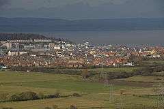
North Somerset (/ˈsʌmərsɛt/) is a unitary authority area in England. Its area covers part of the ceremonial county of Somerset but it is administered independently of the non-metropolitan county. Its administrative headquarters is in the town hall in Weston-super-Mare. South Wales lies across the Bristol Channel.
North Somerset borders the local government areas of Bristol, Bath and North East Somerset, Mendip and Sedgemoor. The area comprises the parliamentary constituencies of Weston-super-Mare and North Somerset.
History
Between 1 April 1974 and 31 March 1996, this area was the Woodspring district of the county of Avon (named after Woodspring Priory, an isolated mediaeval church near the coast just north east of Weston-super-Mare). The district of Woodspring was formed from the municipal boroughs of Weston-super-Mare, Clevedon and Portishead urban districts, Long Ashton Rural District, and part of Axbridge Rural District.
Though the government proposed that the new unitary area be known as "North West Somerset" from 1 April 1996,[1] the council voted instead to adopt the name "North Somerset" and so the name "North West Somerset" was never widely used. There remained some legal doubt as to whether the council had validly changed the name to "North Somerset",[2] but in 2005 the council passed a resolution to put the matter beyond doubt.[3]
Politics
North Somerset unitary council is elected every four years, with currently 61 councillors being elected at each election. Since the first election to the unitary authority in 1995, the council has either been under Conservative party control, or no party has held a majority. Most recently the Conservatives gained a majority at the 2007 election, and as of the 2011 election the council is composed of the following councillors:[4]
| Party | Councillors | |
| Conservative Party | 42 | |
| Independent | 7 | |
| Liberal Democrats | 6 | |
| Labour Party | 5 | |
| Green Party | 1 | |
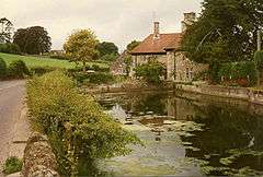
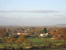
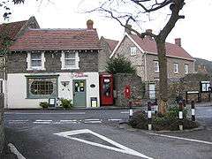
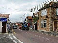
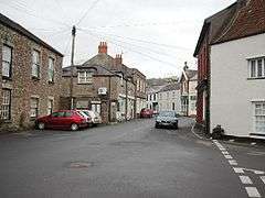
Settlements
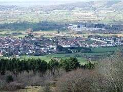
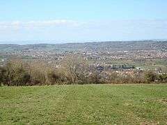
The principal towns in the district are the coastal towns of Weston-super-Mare, Portishead and Clevedon, and the commuter town of Nailsea.
- Abbots Leigh
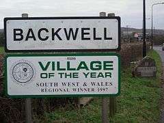
- Backwell, Banwell, Barrow Gurney, Blagdon, Bleadon, Bourton, Brockley, Burrington, Butcombe
- Cambridge Batch, Chelvey, Christon, Churchill, Clapton in Gordano, Claverham, Clevedon, Cleeve, Congresbury
- Downside, Dundry
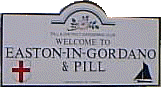
- East End, East Hewish, East Rolstone, Easton in Gordano
- Failand, Farleigh, Felton, Flax Bourton
- Ham Green, Hutton
- Icelton
- Kenn, Kewstoke, Kingston Seymour
- Leigh Woods, Locking, Lodway, Long Ashton, Lower Langford, Lower Failand, Loxton, Lulsgate Bottom
- Maiden Head, Milton
- Nailsea, North End, North Weston
- Portishead
- Pill, Portbury, Puxton
- Redcliff Bay, Redhill, Regil, Rickford
- Sandford, Sheepway, Sidcot, St Georges, St Mary's Grove
- Tickenham
- Uphill, Upper Town
- Walton in Gordano, West Wick, West End, West Hewish, West Town, Weston in Gordano, Weston-super-Mare, Wick St. Lawrence, Winford, Winscombe, Worle, Wraxall, Wrington
- Yatton
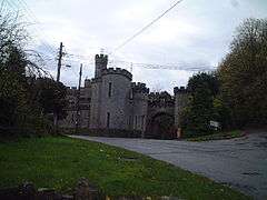
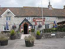
Places of interest
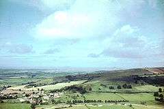
North Somerset's natural environment and coastal towns attract visitors from the nearby cities. Notable geographical features include:
- Gordano Valley
- Mendip Hills – the ridgeway forms part of the district boundary
- Sand Bay and Sand Point
- Worlebury Hill
- Burrington Combe, Goblin Combe, Brockley Combe
- North Somerset Levels
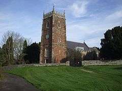
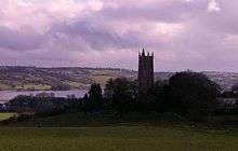
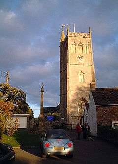
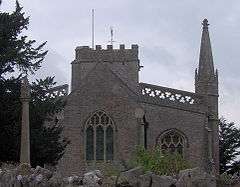
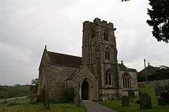
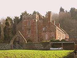
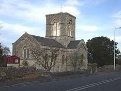
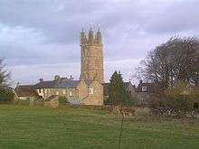
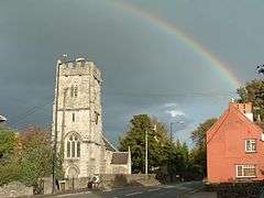
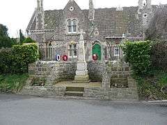
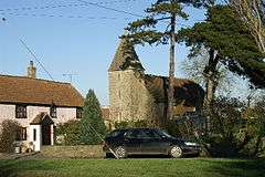
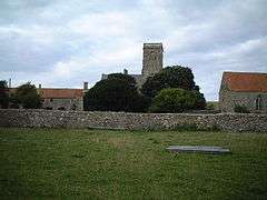
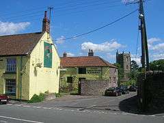
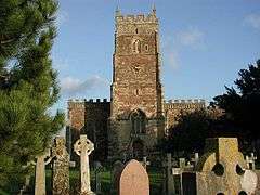
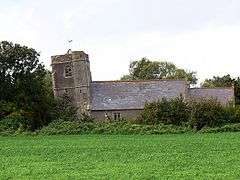
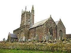
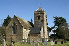
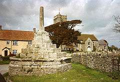
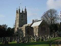
The district is noted for the religious buildings at:
Parishes

Economy
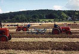
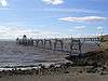
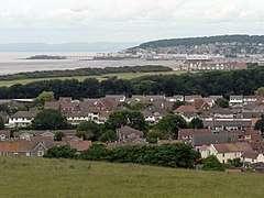
North Somerset's economy is traditionally based on agriculture, including sheep raised for wool on the Mendip Hills and dairy farming in the valleys. This is celebrated at the annual North Somerset Show. During the Georgian era tourism became a significant economic sector in the coastal towns, most notably Weston-super-Mare which grew from a small village to a large resort town. Though tourism declined in the mid to late-20th century, in common with most British coastal resorts, this sector of the economy has stabilised.
In the 19th century the major port city of Bristol found that modern ships had outgrown the narrow river approach and the Port of Bristol company began seeking locations for new docks on the coast. The first of these was Portishead Dock, which handled coal from South Wales, though this too has seen shipping outgrow its facilities. The newer Royal Portbury Dock is noted for the large volume of car imports.
This is a chart of trend of regional gross value added of North and North East Somerset and South Gloucestershire at current basic prices (pp. 240–253) by Office for National Statistics with figures in millions of British Pounds Sterling. [9]
| Year | Regional Gross Value Added1 | Agriculture2 | Industry3 | Services4 |
|---|---|---|---|---|
| 1995 | 5,916 | 125 | 1,919 | 3,872 |
| 2000 | 8,788 | 86 | 2,373 | 6,330 |
| 2003 | 10,854 | 67 | 2,873 | 7,914 |
^1 Components may not sum to totals due to rounding
^2 includes hunting and forestry
^3 includes energy and construction
^4 includes financial intermediation services indirectly measured
Demographics
| North Somerset compared | |||||
|---|---|---|---|---|---|
| UK Census 2001 | North Somerset UA[10] | South West England[11] | England[11] | ||
| Total population | 188,564 | 4,928,434 | 49,138,831 | ||
| Foreign born | 9.5% | 9.4% | 9.2% | ||
| White | 97.1% | 97.7% | 91% | ||
| Asian | 1.7% | 0.7% | 4.6% | ||
| Black | 0.9% | 0.4% | 2.3% | ||
| Christian | 75.0% | 74.0% | 72% | ||
| Muslim | 0.2% | 0.5% | 3.1% | ||
| Hindu | 0.1% | 0.2% | 1.1% | ||
| No religion | 16.6% | 16.8% | 15% | ||
| Over 75 years old | 9.9% | 9.3% | 7.5% | ||
| Unemployed | 2.1% | 2.6% | 3.3% | ||
North Somerset covers an area of around 145 square miles (380 km2) and has a resident population of 193,000 (1.4% BME) living in 85,000 households.[12]
The population of North Somerset has doubled since the 1950s and is predicted to rise by 6,184 or 3.0% to 2011 and by 17% to 2026. Whilst the proportion of people in North Somerset who are under 45 is lower than the national average, population growth is predicted to be strongest in the 2034 age group. Conversely North Somerset has a 4.2% higher percentage of older people (60+ female, 65+ male) than the rest of England and Wales. This disparity increases with age with the percentage of the population over 75 years almost 30% higher than the national average, resulting in a relatively aged population.[13]
In 2001 there were 134,132 people of working age living in North Somerset and 91,767 were in employment; an economic activity rate of 68.4%. This is very close to the economic activity rate of the West of England sub-region which was 68.8% in the 2001 census.[12]
The 2001 census stated that 1.38% of North Somerset residents identified themselves as belonging to a visible ethnic group and a further 1.27% identified themselves as 'white other'.[14]
| Population since 1801[15] | |||||||||||||
| Year | 1801 | 1851 | 1901 | 1911 | 1921 | 1931 | 1941 | 1951 | 1961 | 1971 | 1981 | 1991 | 2001 |
|---|---|---|---|---|---|---|---|---|---|---|---|---|---|
| Population North Somerset[16] | 16,670 | 33,774 | 60,066 | 68,410 | 75,276 | 82,833 | 91,967 | 102,119 | 119,509 | 139,924 | 160,353 | 179,865 | 188,556 |
Education
The Unitary Authority of North Somerset, provides support for 78 schools, delivering education to approximately 28,000 pupils.[17]
Weston College is the main provider of further education in the area. University Centre Weston offers higher education courses in conjunction with Bath Spa University and the University of the West of England.
See also
References
- ↑ "Article 4 of the Avon (Structural Change) Order 1995 (SI 1995/493)". 28 February 1995. Retrieved 9 October 2011.
- ↑ "Report to the Executive". 14 June 2005. Archived from the original on 5 April 2012. Retrieved 9 October 2011.
- ↑ "Minutes of the Extraordinary Meeting of the Council". 28 June 2005. Retrieved 22 August 2016.
- ↑ "England council elections". BBC News Online. Retrieved 20 August 2011.
- 1 2 3 4 5 6 7 8 9 10 11 12 13 14 15 16 17 18 19 20 21 22 23 24 25 26 27 28 29 30 31 32 33 34 35 36 37 38 39 "2011 Census Profile". North Somerset Council. Archived from the original (Excel) on 4 January 2014. Retrieved 4 January 2014.
- 1 2 3 4 5 6 7 8 9 10 11 12 13 14 15 16 17 18 "Long Ashton RD". A vision of Britain Through Time. University of Portsmouth. Retrieved 4 January 2014.
- 1 2 3 4 5 6 7 8 9 10 11 12 13 14 15 16 17 18 19 20 "Axbridge RD". A vision of Britain Through Time. University of Portsmouth. Retrieved 4 January 2014.
- ↑ "Clevedon UD". A vision of Britain Through Time. University of Portsmouth. Retrieved 4 January 2014.
- ↑ "Regional Gross Value Added" (PDF). National Statistics. 21 December 2005. Retrieved 3 June 2007.
- ↑ United Kingdom Census 2001 (2001). "Key Figures for 2001 Census: Census Area Statistics: Area: North Somerset". statistics.gov.uk. Retrieved 12 December 2007.
- 1 2 United Kingdom Census 2001 (2001). "Key Figures for 2001 Census: Census Area Statistics: Area: Bath and North East Somerset". statistics.gov.uk. Retrieved 12 December 2007.
- 1 2 "Local Area Agreement for North Somerset 2007–2010". North Somerset Partnership. Archived from the original on 7 June 2011. Retrieved 30 December 2007.
- ↑ "Culture, Leisure and Tourism and Topic Paper" (PDF). North Somerset Core Strategy document. Archived from the original (PDF) on 8 February 2012. Retrieved 30 December 2007.
- ↑ "North Somerset Council Race Equality Scheme 2007–2010". North Somerset Council. Archived from the original (Word) on 29 October 2007. Retrieved 30 December 2007.
- ↑ A Vision of Britain through Time
- ↑ "North Somerset: Total Population". A Vision of Britain Through Time. Great Britain Historical GIS Project. Retrieved 13 December 2007.
- ↑ "Schools". North Somerset. Retrieved 19 December 2008.