Taunton Deane
| Taunton Deane | ||
|---|---|---|
| Non-metropolitan district | ||
| ||
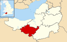 Shown within Somerset | ||
| Sovereign state | United Kingdom | |
| Constituent country | England | |
| Region | South West England | |
| Ceremonial county | Somerset | |
| Admin HQ | Taunton | |
| Created | 1 April 1974 | |
| Government | ||
| • Type | Non-metropolitan district | |
| • Leader | John Williams | |
| • Council | Conservative | |
| • MPs: | Rebecca Pow (Con) | |
| Area | ||
| • Total | 178.87 sq mi (463.26 km2) | |
| Population (mid-2017 est.) | ||
| • Total | 117,400 (Ranked 197th) | |
| Time zone | UTC0 (GMT) | |
| • Summer (DST) | UTC+1 (BST) | |
| Post Code | TA1-4 | |
| Area code(s) | 01823 | |
| Website | http://www.tauntondeane.gov.uk/ | |
Taunton Deane is a local government district with borough status in Somerset, England. Its council is based in Taunton.
The district was formed on 1 April 1974, under the Local Government Act 1972, by a merger of the Municipal Borough of Taunton, Wellington Urban District, Taunton Rural District, and Wellington Rural District.
Taunton Deane was granted borough status in 1975, perpetuating the mayoralty of Taunton.[1]
The district was given the name of an alternative form of the Taunton Deane Hundred.
In September 2016, West Somerset and Taunton Deane councils agreed in principle to merge the districts into one (with one council) subject to consultation.[2] The new district would not be a unitary authority, with Somerset County Council still performing its functions.[3] In March 2018 both councils voted in favour of the merger and it will come into effect on 1st April 2019, with the first elections to the new council in May 2019. The new authority will be known as Somerset West and Taunton.[4][5][6]
Governance
The region is governed by Taunton Deane Borough Council, with the most recent election resulting in the Conservatives gaining an increased majority on the council.[7]
| Party | Seats Held | Net Gain/Loss | Votes Received |
|---|---|---|---|
| Conservative | 36 | +8 | 49,934 |
| Liberal Democrat | 14 | -9 | 39,608 |
| Independent | 3 | +1 | 5,310 |
| Labour | 2 | -1 | 9,268 |
| UKIP | 1 | +1 | 1,349 |
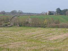
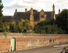
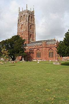
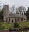
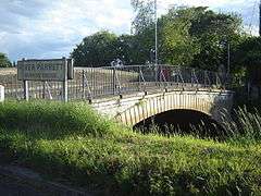
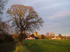
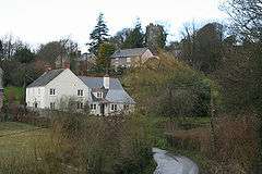
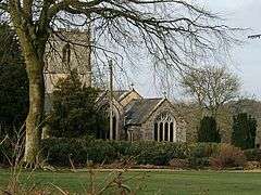
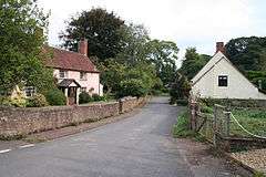
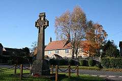
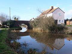
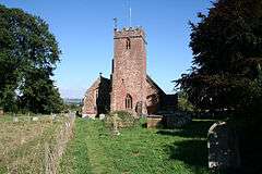
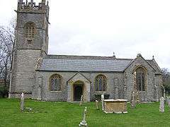
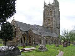
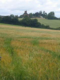
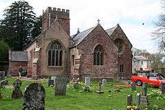
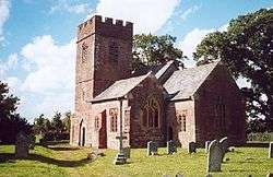
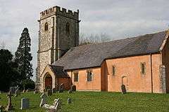
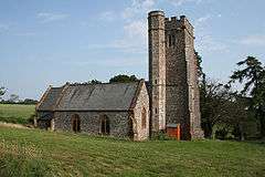
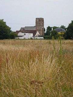
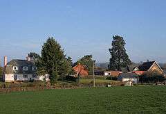
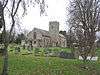
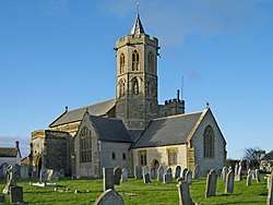
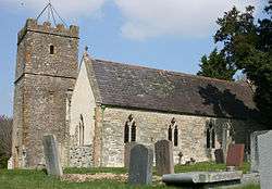
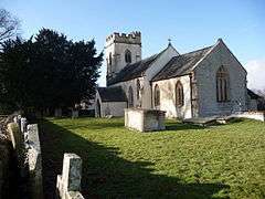
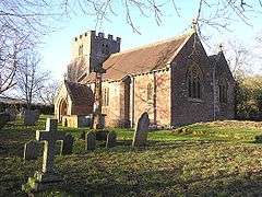
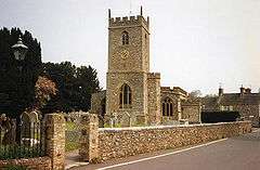
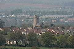
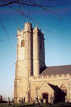
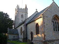
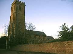
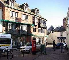
Settlements
Settlements in bold have a town charter or a population over 2,500.
- Ash Priors - Ashbrittle
- Bathealton - Bickenhall - Bishop's Hull - Bishops Lydeard - Bradford on Tone - Burrowbridge
- Cheddon Fitzpaine - Chipstable - Churchstanton - Combe Florey - Comeytrowe - Corfe - Cotford St Luke - Cothelstone - Creech St Michael - Curland
- Durston
- Fitzhead
- Halse - Hatch Beauchamp
- Kingston St Mary
- Langford Budville - Lydeard St Lawrence
- Milverton
- North Curry - Norton Fitzwarren - Nynehead
- Oake - Orchard Portman - Otterford
- Pitminster
- Ruishton
- Sampford Arundel - Staple Fitzpaine - Staplegrove - Stawley - Stoke St Gregory - Stoke St Mary
- Taunton - Thornfalcon - Tolland - Trull
- Wellington - West Bagborough - West Buckland - West Monkton - Wiveliscombe
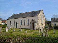
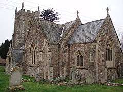
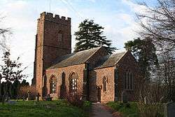
Parishes
Part of the former Taunton Municipal Borough is unparished.


Demography
| Population Profile[12] | |||||
|---|---|---|---|---|---|
| UK Census 2001 | Taunton Deane | South West England | England | ||
| Total population | 102,299 | 4,928,434 | 49,138,831 | ||
| Foreign born | 4.1% | 9.4% | 9.2% | ||
| White | 98.4% | 97.7% | 91% | ||
| Asian | 0.4% | 0.7% | 4.6% | ||
| Black | 0.2% | 0.4% | 2.3% | ||
| Christian | 75.9% | 74.0% | 72% | ||
| Muslim | 0.3% | 0.5% | 3.1% | ||
| Hindu | 0.1% | 0.2% | 1.1% | ||
| No religion | 15.7% | 16.8% | 15% | ||
| Over 75 years old | 9.5% | 9.3% | 7.5% | ||
| Unemployed | 2.4% | 2.6% | 3.3% | ||
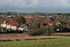
The town of Taunton (which for population estimates includes the unparished area - or former municipal borough - plus the neighbouring parishes of Bishop's Hull, Comeytrowe, Norton Fitzwarren, Staplegrove, Trull and West Monkton) had an estimated population of 61,400 in 2001.[13]
Taunton forms part of the larger borough of Taunton Deane which also includes the town of Wellington and surrounding villages. Taunton Deane had an estimated population of 102,600 in 2001.[14]
The figures below are for the Taunton Deane area.
| Population since 1801 - Source: A Vision of Britain through Time | |||||||||||||
| Year | 1801 | 1851 | 1901 | 1911 | 1921 | 1931 | 1941 | 1951 | 1961 | 1971 | 1981 | 1991 | 2001 |
|---|---|---|---|---|---|---|---|---|---|---|---|---|---|
| Population Taunton Deane[15] | 33,139 | 51,844 | 53,759 | 55,666 | 56,161 | 56,661 | 62,745 | 69,492 | 75,320 | 81,639 | 84,795 | 95,791 | 102,304 |
Education
County schools (those which are not independent) in the five non-metropolitan districts of the county are operated by Somerset County Council, or are independent of the council and run as academies.
For a full list of schools see: List of schools in Somerset
See also
References
- ↑ "About the Mayor". Taunton Deane Borough Council. Retrieved 23 January 2010.
- ↑ West Somerset Online
- ↑ Your New Council
- ↑ "Somerset councils merger approved despite criticism". BBC. Retrieved 20 March 2018.
- ↑ Simmons, Alice (19 March 2018). "Taunton Deane and West Somerset vote in favour of council merger". Somerset County Gazette. Retrieved 20 March 2018.
- ↑ Ministry of Housing, Communities and Local Government (24 May 2018). "The Somerset West and Taunton (Local Government Changes) Order 2018". legislation.gov.uk. Retrieved 2018-05-28.
- ↑ UK, Taunton Deane Borough council,. "Election results in May 2015". www1.tauntondeane.gov.uk. Retrieved 2016-03-22.
- 1 2 3 4 5 6 7 8 9 10 11 12 13 14 15 16 17 18 19 20 21 22 23 24 25 26 27 28 29 30 31 32 33 34 35 36 37 38 39 40 41 42 43 44 45 46 "Statistics for Wards, LSOAs and Parishes — SUMMARY Profiles" (Excel). Somerset Intelligence. Retrieved 4 January 2014.
- 1 2 3 4 5 6 7 8 9 10 11 12 13 14 "Wellington RD". A vision of Britain Through Time. University of Portsmouth. Retrieved 5 January 2014.
- 1 2 3 4 5 6 7 8 9 10 11 12 13 14 15 16 17 18 19 20 21 22 23 24 25 26 27 28 29 30 31 32 33 34 35 "Taunton RD". A vision of Britain Through Time. University of Portsmouth. Retrieved 5 January 2014.
- ↑ "Wellington UD". A vision of Britain Through Time. University of Portsmouth. Retrieved 5 January 2014.
- ↑ United Kingdom Census 2001 (2001). "Key Figures for 2001 Census: Census Area Statistics: Area: Bath and North East Somerset". statistics.gov.uk. Retrieved 2007-12-12.
- ↑ "Mid Year Population Estimates for Towns" (PDF). Somerset County Council. Retrieved 2009-02-17.
- ↑ "Population Summary" (PDF). Somerset County Council. Retrieved 2009-02-17.
- ↑ "Taunton Deane: Total Population". A Vision of Britain Through Time. Great Britain Historical GIS Project. Retrieved 2008-01-19.