List of civil parishes in Somerset
| Districts of Somerset Areas shown in yellow are the unitary authorities and those in pink are districts administered by Somerset County Council |
|---|
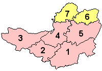 |
| 1 South Somerset |
| 2 Taunton Deane |
| 3 West Somerset |
| 4 Sedgemoor |
| 5 Mendip |
| 6 Bath and North East Somerset (unitary) |
| 7 North Somerset (unitary) |
The ceremonial county of Somerset, England is divided into 418 areas known as civil parishes, which are lowest unit of local government in England. Parishes arose from Church of England divisions, and were given their current powers and responsibilities by the Local Government Act 1894.[1] The Local Government Act 1972 retained civil parishes in rural areas. Many former urban districts and municipal boroughs were replaced by new successor parishes; urban areas that were considered too large to be single parishes became unparished areas.[2]
The county of Somerset consists of a non-metropolitan county administered by Somerset County Council, divided into five districts and two unitary authorities. The districts of Somerset are West Somerset, South Somerset, Taunton Deane, Mendip and Sedgemoor. The two administratively independent unitary authorities, which were established on 1 April 1996 following the break-up of the county of Avon, are North Somerset and Bath and North East Somerset. These unitary authorities include areas that were part of Somerset before the creation of Avon in 1974.[3]
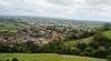
The city of Bath is the largest centre of population in Bath and North East Somerset. Areas of the city that were formerly within the Bath County Borough are now unparished, but the rest of the authority is divided into 49 parishes. All of North Somerset, the other unitary authority, is covered by its 39 parishes ranging from the village Loxton with a population of 192,[4] to the town of Weston-super-Mare with 76,143 inhabitants.[4]
South Somerset is the largest of Somerset's five districts, covering an area of 958 square kilometres (370 sq mi) from the borders with Devon and Dorset to the edge of the Somerset Levels.[5] It has a population of about 156,100.[5] The largest settlement in the district is Yeovil, with a population of 30,378.[6] Part of Taunton formerly within Taunton Municipal Borough is unparished, but the rest of Taunton Deane is divided into 49 parishes. Tolland has just 81 residents,[7] compared to the town of Wellington which has 12,979.[7] West Somerset is a largely rural area, with a population of 35,712[8] in an area of 740 square kilometres (290 sq mi).[9] According to figures released by the Office for National Statistics in 2009, the population of West Somerset has the highest average age of any district in the United Kingdom at 52,[10] living in 43 parishes with 11,981 living in its most populous town, Minehead.[6] Sedgemoor has 54 parishes ranging in population from Greinton with 71[11] to Bridgwater with 33,698.[11] The Mendip district covers a largely rural area of 738 square kilometres (285 sq mi),[12] ranging from the Mendip Hills through on to the Somerset Levels. It has a population of about 108,300,[12] living in 62 parishes, the largest of which, Frome has 24,510 residents;[13] the smallest, Sharpham has a population of 71.[13]
History
Parishes arose from Church of England divisions, and were originally purely ecclesiastical divisions. Over time they acquired civil administration powers.[14] The Highways Act 1555 made parishes responsible for the upkeep of roads. Every adult inhabitant of the parish was obliged to work four days a year on the roads, providing their own tools, carts and horses; the work was overseen by an unpaid local appointee, the Surveyor of Highways. The poor were looked after by the monasteries, until their dissolution. In 1572, magistrates were given power to 'survey the poor' and impose taxes for their relief. This system was made more formal by the Poor Law Act 1601, which made parishes responsible for administering the Poor Law; overseers were appointed to charge a rate to support the poor of the parish.[15] The 19th century saw an increase in the responsibility of parishes, although the Poor Law powers were transferred to Poor Law Unions.[16] The Public Health Act 1872 grouped parishes into Rural Sanitary Districts, based on the Poor Law Unions; these subsequently formed the basis for Rural Districts.[17] Parishes were run by vestries, meeting annually to appoint officials, and were generally identical to ecclesiastical parishes,[18] although some townships in large parishes administered the Poor Law themselves; under the Parishes Act 1882, all extra-parochial areas and townships that levied a separate rate became independent civil parishes.[19]
Civil parishes in their modern sense date from the Local Government Act 1894, which abolished vestries; established elected parish councils in all rural parishes with more than 300 electors; grouped rural parishes into Rural Districts; and aligned parish boundaries with county and borough boundaries.[19] Urban civil parishes continued to exist, and were generally coterminous with the Urban District, Municipal Borough or County Borough in which they were situated; many large towns contained a number of parishes, and these were usually merged into one. Parish councils were not formed in urban areas, and the only function of the parish was to elect guardians to Poor Law Unions; with the abolition of the Poor Law system in 1930 the parishes had only a nominal existence.[20] The Local Government Act 1972 retained civil parishes in rural areas, and many former Urban Districts and Municipal Boroughs that were being abolished, were replaced by new successor parishes; urban areas that were considered too large to be single parishes became unparished areas.[21]
Current position
Recent governments have encouraged the formation of town and parish councils in unparished areas, and the Local Government and Rating Act 1997 gave local residents the right to demand the creation of a new civil parish.[22] A parish council can become a town council unilaterally, simply by resolution;[21] and a civil parish can also gain city status, but only if that is granted by the Crown.[21] The chairman of a town or city council is called a mayor.[21] There are currently 28 civil parishes in the county with the status of a town, and one (Wells) with city status. The Local Government and Public Involvement in Health Act 2007 introduced alternative names: a parish council can now chose to be called a community; village; or neighbourhood council.[23]
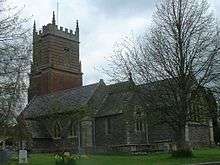
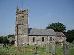
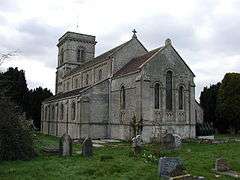
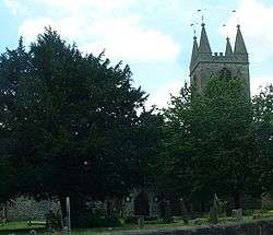
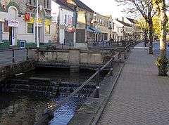
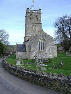
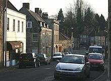
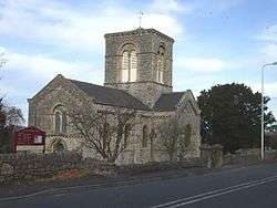
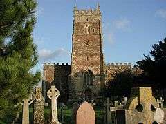
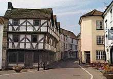
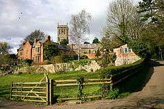
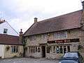
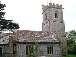
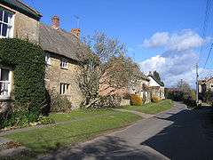
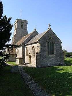
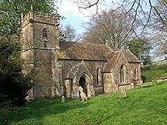
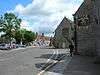
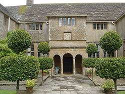
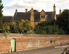
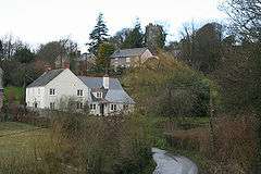
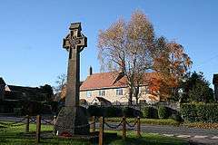
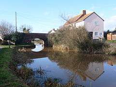
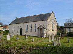
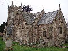
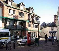
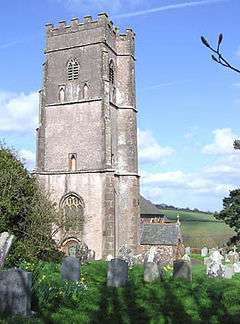
Bath and North East Somerset
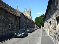
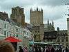
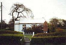
The area of the city of Bath which was part of Bath County Borough is unparished.
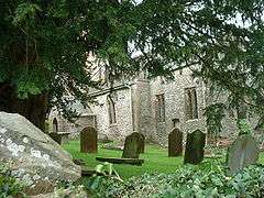
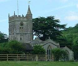
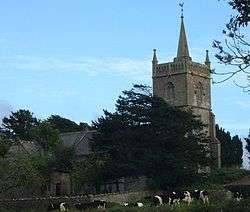
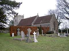
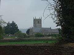
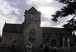
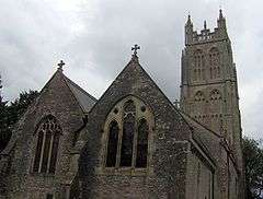
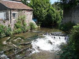
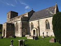
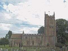
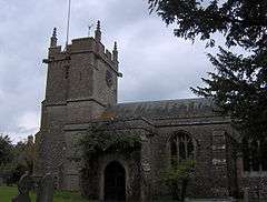
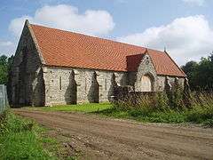
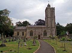
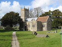
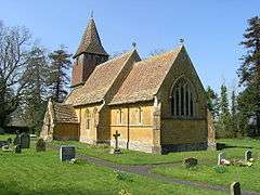
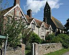
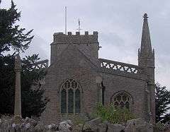
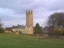
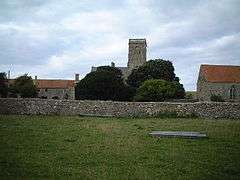
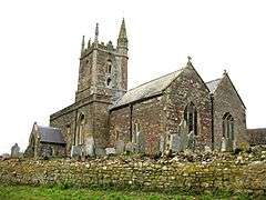
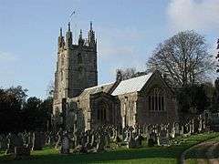
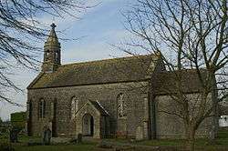
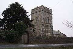
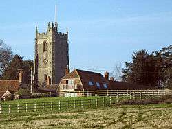
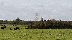
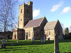
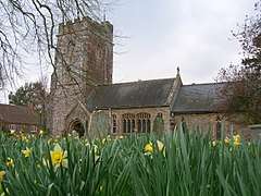
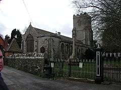
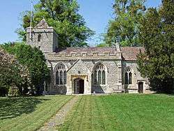
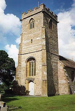
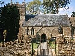
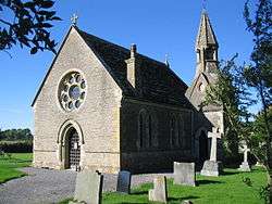
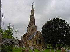
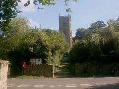
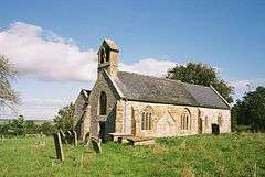
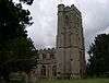
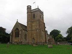
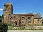
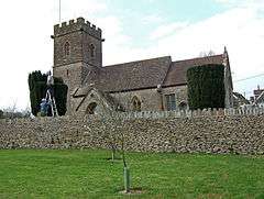
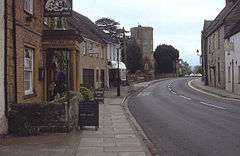
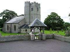
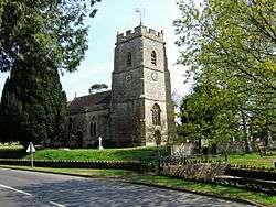
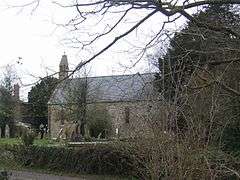
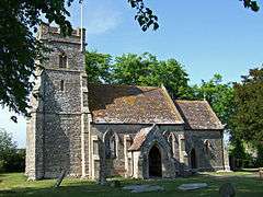
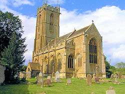
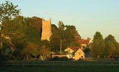
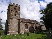
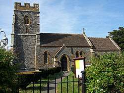
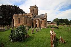
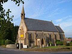
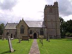
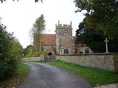
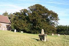
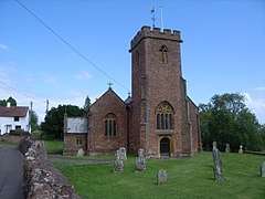
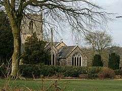
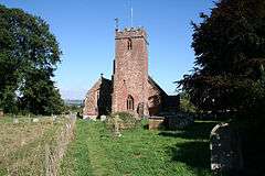
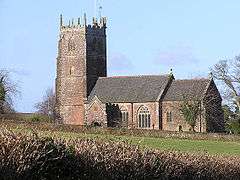
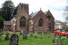
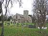
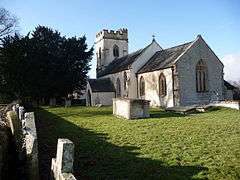
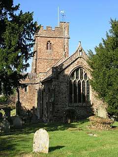
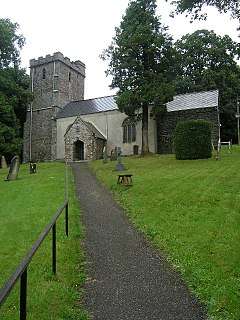
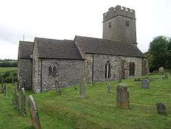
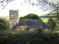
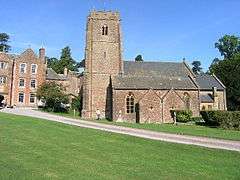
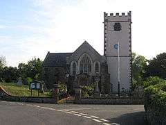
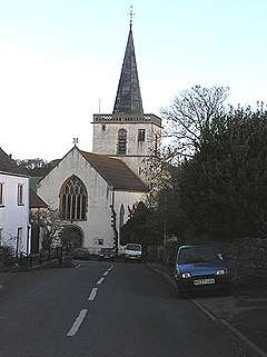
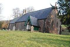
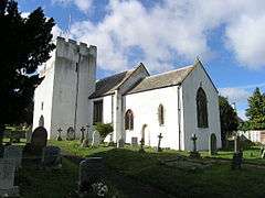
_St_Peter's_Church_-_geograph.org.uk_-_67585.jpg)
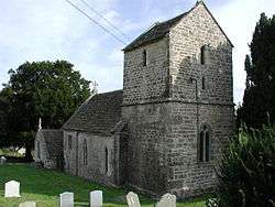
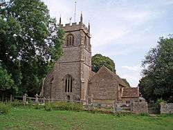
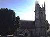
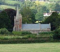
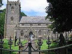
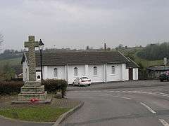
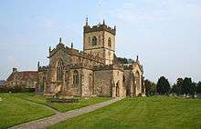
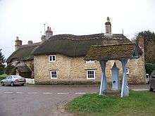
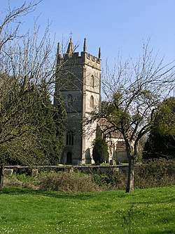
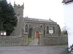
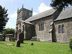
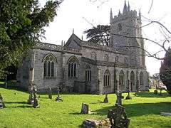
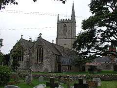
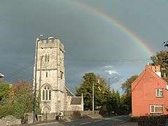
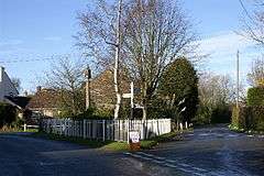
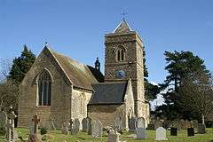
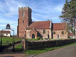
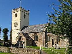
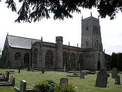
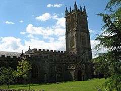
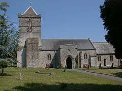
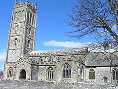
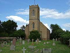
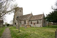
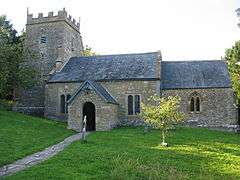
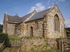
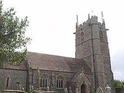
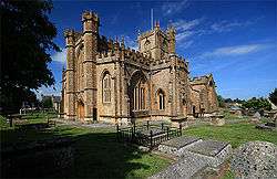
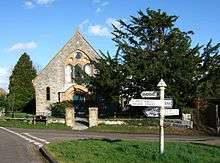
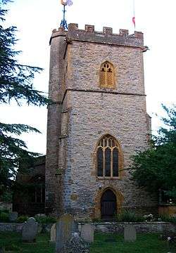
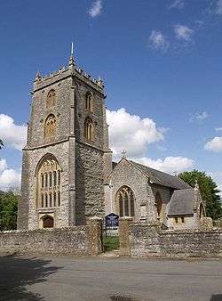
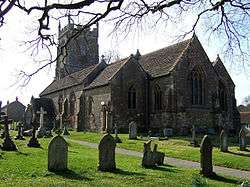
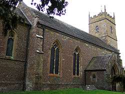
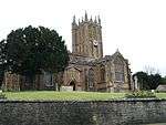
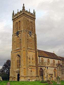
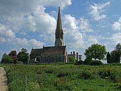
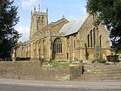
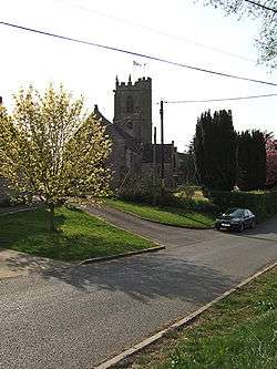
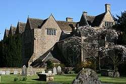
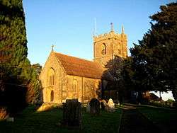
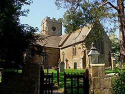
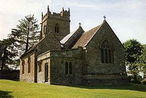
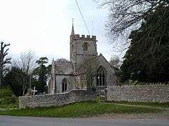
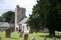
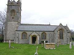
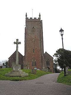
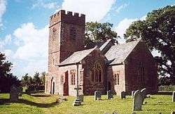
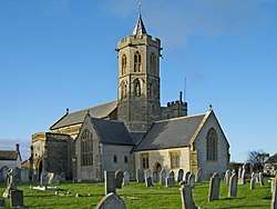
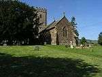
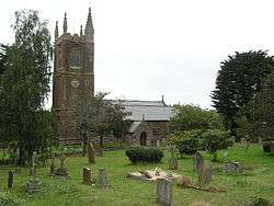
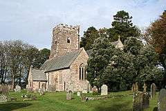
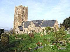
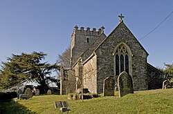
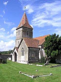
_All_Saints_Church_-_geograph.org.uk_-_67722.jpg)
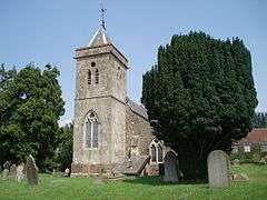
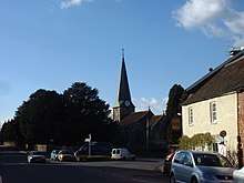
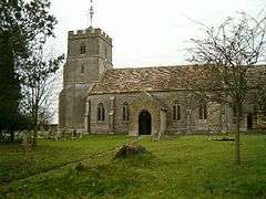
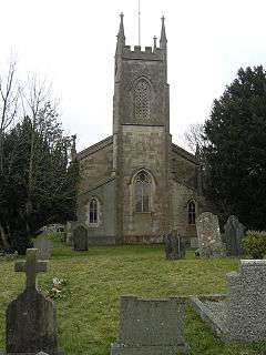
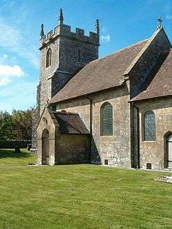
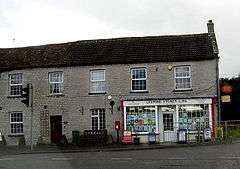
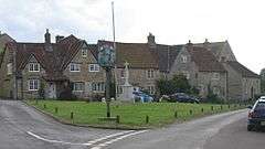
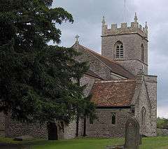
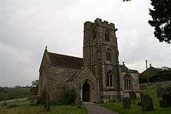
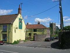
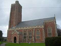
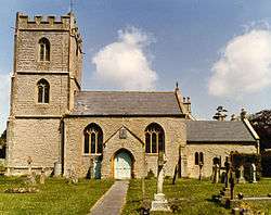
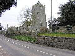
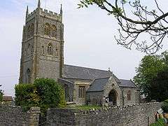
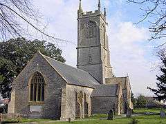
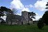
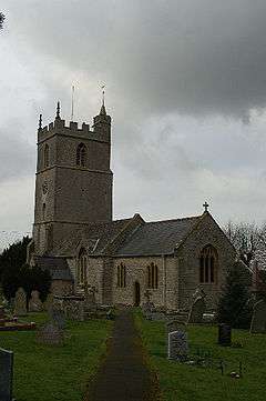
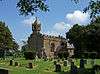
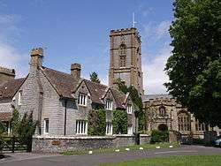
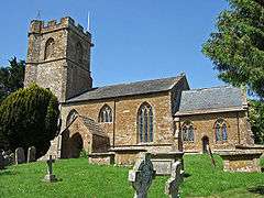
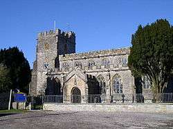
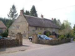
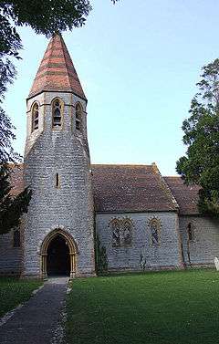
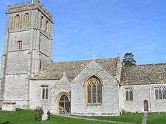
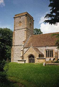
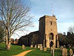
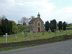
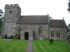
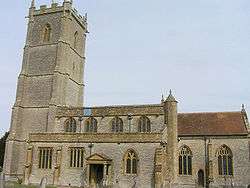
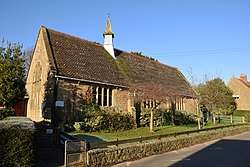
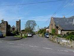
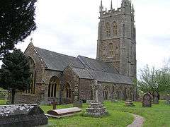
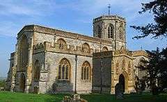
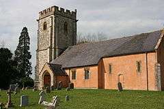
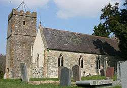
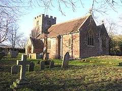
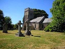
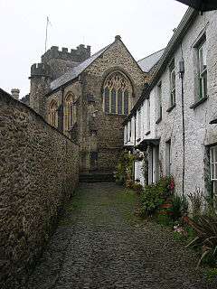
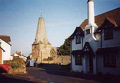
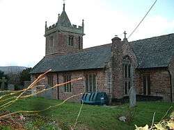
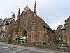
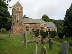
_Holy_Trinity_Church_-_geograph.org.uk_-_67726.jpg)

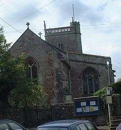
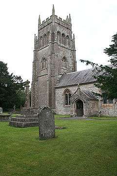
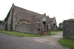
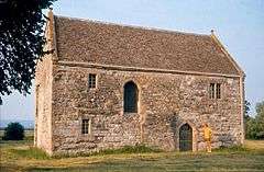
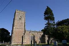
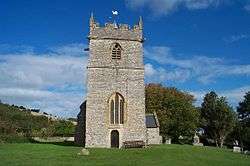
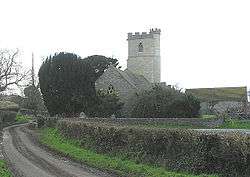
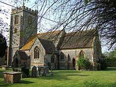
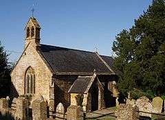
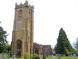
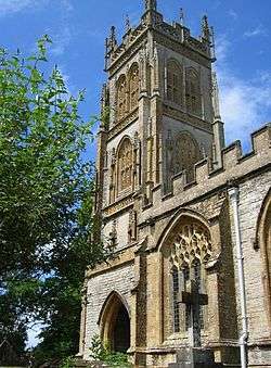
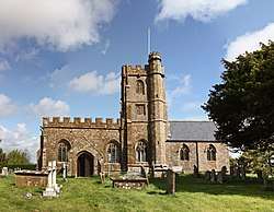
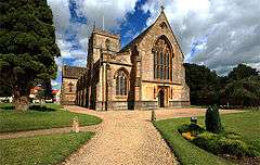
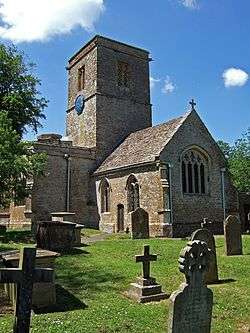
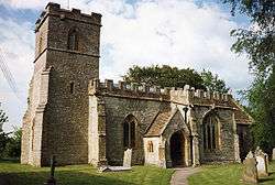
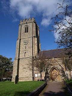
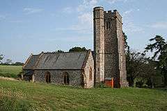
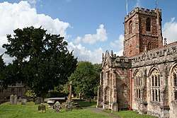
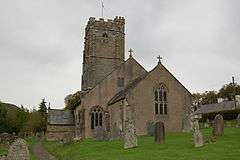
_St_Mary's_Church_-_geograph.org.uk_-_67849.jpg)

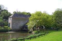
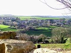
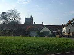
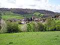
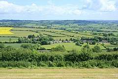
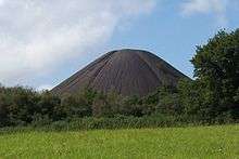
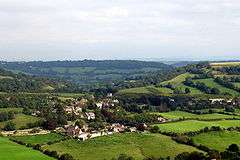
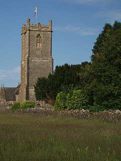
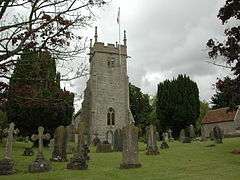
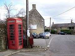
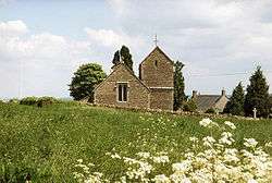
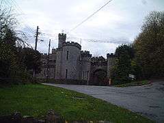
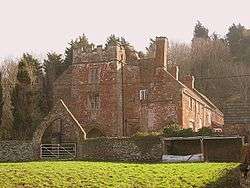
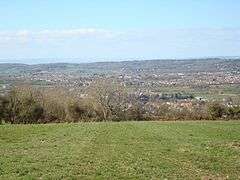
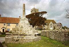
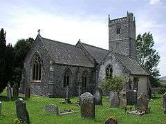
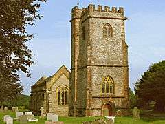
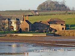
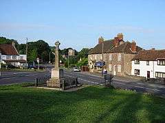
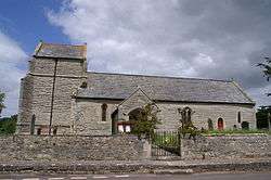
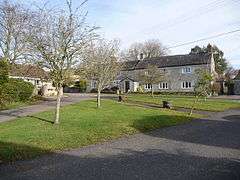
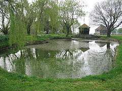
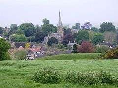
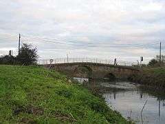
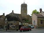
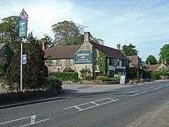
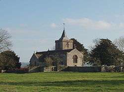
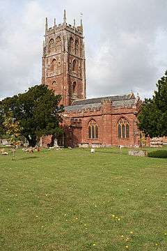
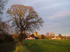
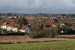
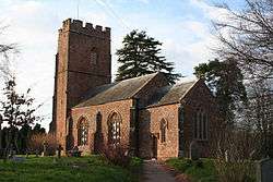
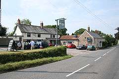
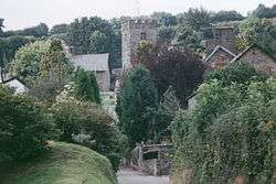
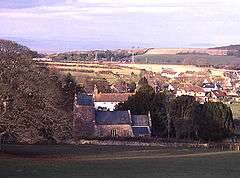
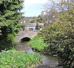
Mendip
The whole of the district is parished.

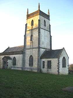
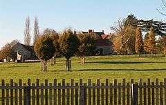
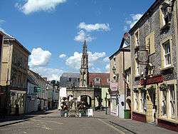
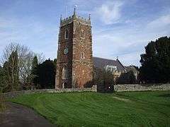
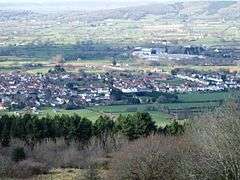
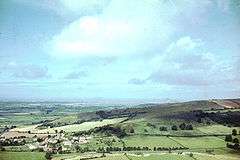
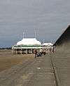
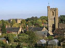
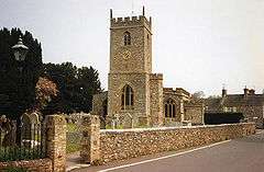
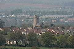
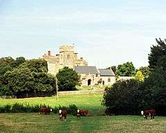
.jpg)
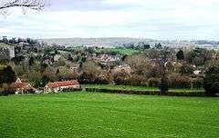
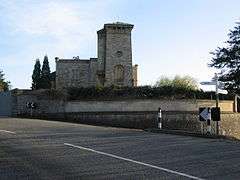
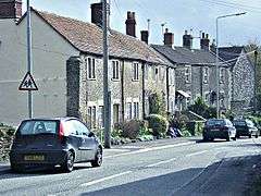
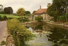
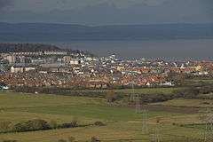
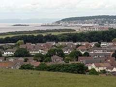
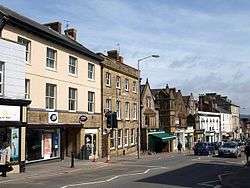
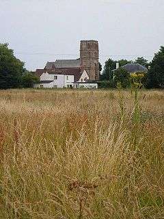
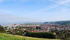
North Somerset
The whole of the district is parished.


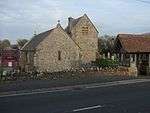
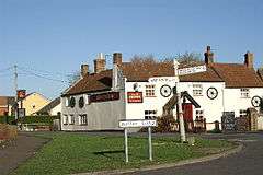
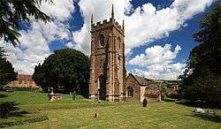
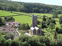
Sedgemoor
The whole of the district is parished.


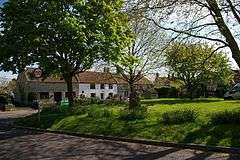
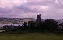
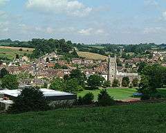
South Somerset
The whole of the district is parished.
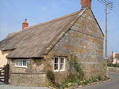


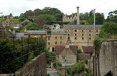
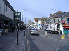
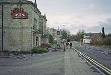
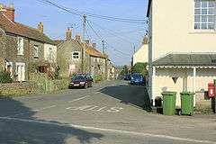
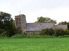
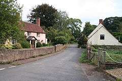
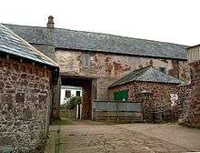
Taunton Deane
Part of the former Taunton Municipal Borough is unparished.
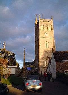
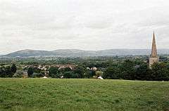
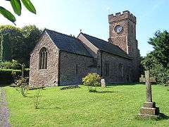
West Somerset
The whole of the district is parished.
See also
References
- ↑ The Parish Councils Bill. The Times. 27 March 1893:8.
- ↑ HMSO. Local Government Act 1972. 1972 c.70
- ↑ The Avon (Structural Change) Order 1995 [archived 4 November 2010; Retrieved 9 December 2007].
- 1 2 3 4 5 6 7 8 9 10 11 12 13 14 15 16 17 18 19 20 21 22 23 24 25 26 27 28 29 30 31 32 33 34 35 36 37 38 39 40 41 "2011 Census Profile" (Excel). North Somerset Council. Archived (PDF) from the original on 29 January 2017. Retrieved 29 January 2017.
- 1 2 South Somerset District Council. An introduction to South Somerset [PDF] [archived 29 November 2014; Retrieved 4 January 2014].
- 1 2 3 4 5 6 7 8 9 10 11 12 13 14 15 16 17 18 19 20 21 22 23 24 25 26 27 28 29 30 31 32 33 34 35 36 37 38 39 40 41 42 43 44 45 46 47 48 49 50 51 52 53 54 55 56 57 58 59 60 61 62 63 64 65 66 67 68 69 70 71 72 73 74 75 76 77 78 79 80 81 82 83 84 85 86 87 88 89 90 91 92 93 94 95 96 97 98 99 100 101 102 103 104 105 106 107 108 109 110 111 112 113 114 115 116 117 118 119 120 121 122 123 124 125 126 127 128 129 130 131 132 133 134 135 136 137 138 139 140 141 142 143 144 145 146 147 148 149 150 151 152 153 154 155 156 157 158 159 160 161 162 163 164 165 166 167 168 169 170 171 172 173 174 175 176 177 178 179 180 181 182 183 184 185 186 187 188 189 190 191 192 193 194 195 196 197 198 199 200 201 202 203 204 205 206 207 208 209 210 211 212 213 214 215 216 217 218 219 220 221 222 223 224 225 226 227 228 229 230 231 232 233 234 235 236 237 238 239 240 241 242 243 244 245 246 247 248 249 "Statistics for Wards, LSOAs and Parishes — SUMMARY Profiles" (Excel). Somerset Intelligence. Archived from the original on 4 January 2014. Retrieved 4 January 2014.
- 1 2 3 Somerset County Council. Taunton Deane [archived 21 November 2009; Retrieved 14 November 2009].
- ↑ Somerset Intelligence Network. Community Profile [archived 2 February 2017; Retrieved 29 January 2017].
- ↑ Office for National Statistics. West Somerset (Local Authority): Key Figures for Physical Environment [archived 29 July 2014; Retrieved 23 April 2009].
- ↑ Maps chart UK's ageing population. 1 October 2009 [Retrieved 3 October 2009]. BBC News.
- 1 2 3 Somerset County Council. Sedgemoor parish population estimates for 2002; 2002 [archived 21 November 2009; Retrieved 17 October 2009].
- 1 2 "A Portrait of Mendip". Mendip Council. Archived from the original on 4 January 2014. Retrieved 4 January 2014.
- 1 2 3 Somerset County Council. Mendip Parish Population Statistics [archived 21 November 2009; Retrieved 3 July 2008].
- ↑ Discovering Parish Boundaries. Princes Risborough: Shire Publications; 2000. ISBN 978-0-7478-0470-3.
- ↑ The Victorian Web. The Poor Law : Introduction [archived 11 April 2010; Retrieved 22 August 2009].
- ↑ The Workhouse. The New Poor Law [archived 12 October 2016; Retrieved 29 January 2017].
- ↑ Great Britain Historical GIS Project 2004/University of Portsmouth. Data Office for National Statistics, for England and Wales. A Vision of Britain Through Time : Status Details for Rural Sanitary District [archived 14 May 2011; Retrieved 22 August 2009].
- ↑ The Reformation and the Towns in England: Politics and Political Culture, c.1540–1640. Oxford University Press; 1998. ISBN 978-0-19-820718-4.
- 1 2 Modern British Surnames : Selected Events in the History of Civil Registration and Boundary Changes 1801–1996 [archived; Retrieved 22 August 2009].
- ↑ The Local Government Act 1894 and the Subsequent Statutes Affecting Parish Councils. London: Butterworth and Co; 1907.
- 1 2 3 4 Office of Public Sector Information. Local Government Act 1972 [Retrieved 22 August 2009].
- ↑ Office of Public Sector Information. Local Government and Rating Act 1997 [archived 8 May 2016; Retrieved 29 January 2017].
- ↑ Office of Public Sector Information. Local Government and Public Involvement in Health Act 2007 [archived 1 February 2017; Retrieved 29 January 2017].
- ↑ "Bathampton Parish". Neighbourhood Statistics. Office for National Statistics. Archived from the original on 1 January 2014. Retrieved 31 December 2013.
- 1 2 3 4 5 6 7 8 9 10 11 12 13 14 15 16 17 18 19 20 21 22 23 "Bathavon RD". A vision of Britain Through Time. University of Portsmouth. Archived from the original on 13 October 2013. Retrieved 4 January 2014.
- ↑ "Batheaston Parish". Neighbourhood Statistics. Office for National Statistics. Archived from the original on 1 January 2014. Retrieved 31 December 2013.
- ↑ "Bathford Parish". Neighbourhood Statistics. Office for National Statistics. Archived from the original on 1 January 2014. Retrieved 31 December 2013.
- ↑ "Cameley Parish". Neighbourhood Statistics. Office for National Statistics. Archived from the original on 1 January 2014. Retrieved 31 December 2013.
- 1 2 3 4 5 6 7 8 9 10 11 12 13 14 15 16 17 18 19 20 21 22 23 "Clutton RD". A vision of Britain Through Time. University of Portsmouth. Archived from the original on 13 October 2013. Retrieved 4 January 2014.
- ↑ "Camerton Parish". Neighbourhood Statistics. Office for National Statistics. Archived from the original on 1 January 2014. Retrieved 31 December 2013.
- ↑ "Charlcombe Parish". Neighbourhood Statistics. Office for National Statistics. Archived from the original on 1 January 2014. Retrieved 31 December 2013.
- ↑ "Chelwood Parish". Neighbourhood Statistics. Office for National Statistics. Archived from the original on 1 January 2014. Retrieved 31 December 2013.
- ↑ "Chew Magna Parish". Neighbourhood Statistics. Office for National Statistics. Retrieved 31 December 2013.
- ↑ "Chew Stoke Parish". Neighbourhood Statistics. Office for National Statistics. Retrieved 31 December 2013.
- ↑ "Claverton Parish". Neighbourhood Statistics. Office for National Statistics. Archived from the original on 1 January 2014. Retrieved 31 December 2013.
- ↑ "Clutton Parish". Neighbourhood Statistics. Office for National Statistics. Archived from the original on 1 January 2014. Retrieved 31 December 2013.
- ↑ "Combe Hay Parish". Neighbourhood Statistics. Office for National Statistics. Retrieved 31 December 2013.
- ↑ "Compton Dando Parish". Neighbourhood Statistics. Office for National Statistics. Retrieved 31 December 2013.
- 1 2 3 "Keynsham UD". A vision of Britain Through Time. University of Portsmouth. Archived from the original on 13 October 2013. Retrieved 4 January 2014.
- ↑ "Compton Martin Parish". Neighbourhood Statistics. Office for National Statistics. Retrieved 31 December 2013.
- ↑ "Corston Parish". Neighbourhood Statistics. Office for National Statistics. Archived from the original on 1 January 2014. Retrieved 31 December 2013.
- ↑ "Dunkerton Parish". Neighbourhood Statistics. Office for National Statistics. Archived from the original on 1 January 2014. Retrieved 31 December 2013.
- ↑ "East Harptree Parish". Neighbourhood Statistics. Office for National Statistics. Retrieved 31 December 2013.
- ↑ "Englishcombe Parish". Neighbourhood Statistics. Office for National Statistics. Archived from the original on 1 January 2014. Retrieved 31 December 2013.
- ↑ "Farmborough Parish". Neighbourhood Statistics. Office for National Statistics. Archived from the original on 1 January 2014. Retrieved 31 December 2013.
- ↑ "Farrington Gurney Parish". Neighbourhood Statistics. Office for National Statistics. Retrieved 31 December 2013.
- ↑ "Freshford Parish". Neighbourhood Statistics. Office for National Statistics. Archived from the original on 1 January 2014. Retrieved 31 December 2013.
- ↑ "High Littleton Parish". Neighbourhood Statistics. Office for National Statistics. Retrieved 31 December 2013.
- ↑ "Hinton Blewett Parish". Neighbourhood Statistics. Office for National Statistics. Retrieved 31 December 2013.
- ↑ "Hinton Charterhouse Parish". Neighbourhood Statistics. Office for National Statistics. Retrieved 31 December 2013.
- ↑ "Kelston Parish". Neighbourhood Statistics. Office for National Statistics. Archived from the original on 1 January 2014. Retrieved 31 December 2013.
- ↑ "Keynsham Parish". Neighbourhood Statistics. Office for National Statistics. Archived from the original on 1 January 2014. Retrieved 31 December 2013.
- ↑ "Marksbury Parish". Neighbourhood Statistics. Office for National Statistics. Archived from the original on 1 January 2014. Retrieved 31 December 2013.
- ↑ "Midsomer Norton Parish". Neighbourhood Statistics. Office for National Statistics. Retrieved 31 December 2013.
- 1 2 3 "Norton Radstock UD". A vision of Britain Through Time. University of Portsmouth. Archived from the original on 5 January 2014. Retrieved 4 January 2014.
- ↑ "Monkton Combe Parish". Neighbourhood Statistics. Office for National Statistics. Retrieved 31 December 2013.
- ↑ "Nempnett Thrubwell Parish". Neighbourhood Statistics. Office for National Statistics. Retrieved 31 December 2013.
- ↑ "Newton St Loe Parish". Neighbourhood Statistics. Office for National Statistics. Archived from the original on 1 January 2014. Retrieved 31 December 2013.
- ↑ "Norton Malreward Parish". Neighbourhood Statistics. Office for National Statistics. Retrieved 31 December 2013.
- ↑ "Paulton Parish". Neighbourhood Statistics. Office for National Statistics. Archived from the original on 1 January 2014. Retrieved 31 December 2013.
- ↑ "Peasedown St John Parish". Neighbourhood Statistics. Office for National Statistics. Archived from the original on 1 January 2014. Retrieved 31 December 2013.
- ↑ "Priston Parish". Neighbourhood Statistics. Office for National Statistics. Archived from the original on 1 January 2014. Retrieved 31 December 2013.
- ↑ "Publow Parish". Neighbourhood Statistics. Office for National Statistics. Archived from the original on 1 January 2014. Retrieved 31 December 2013.
- ↑ "Radstock Parish". Neighbourhood Statistics. Office for National Statistics. Archived from the original on 1 January 2014. Retrieved 31 December 2013.
- ↑ "Saltford Parish". Neighbourhood Statistics. Office for National Statistics. Archived from the original on 1 January 2014. Retrieved 31 December 2013.
- ↑ "Shoscombe Parish". Neighbourhood Statistics. Office for National Statistics. Archived from the original on 1 January 2014. Retrieved 31 December 2013.
- ↑ "Southstoke Parish". Neighbourhood Statistics. Office for National Statistics. Archived from the original on 1 January 2014. Retrieved 31 December 2013.
- ↑ "Stanton Drew Parish". Neighbourhood Statistics. Office for National Statistics. Retrieved 31 December 2013.
- ↑ "Stowey-Sutton Parish". Neighbourhood Statistics. Office for National Statistics. Archived from the original on 1 January 2014. Retrieved 31 December 2013.
- ↑ "Swainswick Parish". Neighbourhood Statistics. Office for National Statistics. Archived from the original on 1 January 2014. Retrieved 31 December 2013.
- ↑ "Timsbury Parish". Neighbourhood Statistics. Office for National Statistics. Archived from the original on 1 January 2014. Retrieved 31 December 2013.
- ↑ "Ubley Parish". Neighbourhood Statistics. Office for National Statistics. Archived from the original on 1 January 2014. Retrieved 31 December 2013.
- ↑ "Wellow Parish". Neighbourhood Statistics. Office for National Statistics. Archived from the original on 1 January 2014. Retrieved 31 December 2013.
- ↑ "Westfield Parish". Neighbourhood Statistics. Office for National Statistics. Archived from the original on 1 January 2014. Retrieved 31 December 2013.
- ↑ "West Harptree Parish". Neighbourhood Statistics. Office for National Statistics. Retrieved 31 December 2013.
- ↑ "Whitchurch Parish". Neighbourhood Statistics. Office for National Statistics. Archived from the original on 1 January 2014. Retrieved 31 December 2013.
- ↑ "Ashwick Parish". Neighbourhood Statistics. Office for National Statistics. Archived from the original on 2 January 2014. Retrieved 1 January 2014.
- 1 2 3 4 5 6 7 8 9 10 11 12 13 14 15 16 17 18 19 "Shepton Mallet RD". A vision of Britain Through Time. University of Portsmouth. Archived from the original on 5 January 2014. Retrieved 4 January 2014.
- ↑ "Baltonsborough Parish". Neighbourhood Statistics. Office for National Statistics. Archived from the original on 2 January 2014. Retrieved 1 January 2014.
- 1 2 3 4 5 6 7 8 9 10 11 12 13 14 15 "Wells RD". A vision of Britain Through Time. University of Portsmouth. Archived from the original on 5 January 2014. Retrieved 4 January 2014.
- ↑ "Batcombe Parish". Neighbourhood Statistics. Office for National Statistics. Archived from the original on 2 January 2014. Retrieved 1 January 2014.
- ↑ "Beckington Parish". Neighbourhood Statistics. Office for National Statistics. Archived from the original on 2 January 2014. Retrieved 1 January 2014.
- 1 2 3 4 5 6 7 8 9 10 11 12 13 14 15 16 17 18 19 20 21 "Frome RD". A vision of Britain Through Time. University of Portsmouth. Archived from the original on 16 October 2013. Retrieved 4 January 2014.
- ↑ "Berkley Parish". Neighbourhood Statistics. Office for National Statistics. Archived from the original on 2 January 2014. Retrieved 1 January 2014.
- ↑ "Binegar Parish". Neighbourhood Statistics. Office for National Statistics. Archived from the original on 2 January 2014. Retrieved 1 January 2014.
- ↑ "Buckland Dinham Parish". Neighbourhood Statistics. Office for National Statistics. Retrieved 1 January 2014.
- ↑ "Butleigh Parish". Neighbourhood Statistics. Office for National Statistics. Archived from the original on 2 January 2014. Retrieved 1 January 2014.
- ↑ "Chewton Mendip Parish". Neighbourhood Statistics. Office for National Statistics. Retrieved 1 January 2014.
- ↑ "Chilcompton Parish". Neighbourhood Statistics. Office for National Statistics. Archived from the original on 2 January 2014. Retrieved 1 January 2014.
- ↑ "Coleford Parish". Neighbourhood Statistics. Office for National Statistics. Archived from the original on 2 January 2014. Retrieved 1 January 2014.
- ↑ "Cranmore Parish". Neighbourhood Statistics. Office for National Statistics. Archived from the original on 2 January 2014. Retrieved 1 January 2014.
- ↑ "Croscombe Parish". Neighbourhood Statistics. Office for National Statistics. Archived from the original on 2 January 2014. Retrieved 1 January 2014.
- ↑ "Ditcheat Parish". Neighbourhood Statistics. Office for National Statistics. Archived from the original on 2 January 2014. Retrieved 1 January 2014.
- ↑ "Doulting Parish". Neighbourhood Statistics. Office for National Statistics. Archived from the original on 2 January 2014. Retrieved 1 January 2014.
- ↑ "East Pennard Parish". Neighbourhood Statistics. Office for National Statistics. Retrieved 1 January 2014.
- ↑ "Emborough Parish". Neighbourhood Statistics. Office for National Statistics. Archived from the original on 2 January 2014. Retrieved 1 January 2014.
- ↑ "Evercreech Parish". Neighbourhood Statistics. Office for National Statistics. Archived from the original on 2 January 2014. Retrieved 1 January 2014.
- ↑ "Frome Parish". Neighbourhood Statistics. Office for National Statistics. Archived from the original on 2 January 2014. Retrieved 1 January 2014.
- ↑ "Glastonbury Parish". Neighbourhood Statistics. Office for National Statistics. Archived from the original on 2 January 2014. Retrieved 1 January 2014.
- ↑ "Glastonbury MB". A vision of Britain Through Time. University of Portsmouth. Archived from the original on 5 January 2014. Retrieved 4 January 2014.
- ↑ "Godney Parish". Neighbourhood Statistics. Office for National Statistics. Archived from the original on 6 September 2015. Retrieved 1 January 2014.
- ↑ "Great Elm Parish". Neighbourhood Statistics. Office for National Statistics. Retrieved 1 January 2014.
- ↑ "Hemington Parish". Neighbourhood Statistics. Office for National Statistics. Archived from the original on 2 January 2014. Retrieved 1 January 2014.
- ↑ "Holcombe Parish". Neighbourhood Statistics. Office for National Statistics. Archived from the original on 2 January 2014. Retrieved 1 January 2014.
- ↑ "Kilmersdon Parish". Neighbourhood Statistics. Office for National Statistics. Archived from the original on 2 January 2014. Retrieved 1 January 2014.
- ↑ "Lamyat Parish". Neighbourhood Statistics. Office for National Statistics. Archived from the original on 2 January 2014. Retrieved 1 January 2014.
- ↑ "Leigh-on-Mendip Parish". Neighbourhood Statistics. Office for National Statistics. Archived from the original on 2 January 2014. Retrieved 1 January 2014.
- ↑ "Litton Parish". Neighbourhood Statistics. Office for National Statistics. Archived from the original on 2 January 2014. Retrieved 1 January 2014.
- ↑ "Lullington Parish". Neighbourhood Statistics. Office for National Statistics. Archived from the original on 2 January 2014. Retrieved 1 January 2014.
- ↑ "Lydford-on-Fosse Parish". Neighbourhood Statistics. Office for National Statistics. Archived from the original on 2 January 2014. Retrieved 1 January 2014.
- ↑ "Meare Parish". Neighbourhood Statistics. Office for National Statistics. Archived from the original on 2 January 2014. Retrieved 1 January 2014.
- ↑ "Mells Parish". Neighbourhood Statistics. Office for National Statistics. Archived from the original on 2 January 2014. Retrieved 1 January 2014.
- ↑ "North Wootton Parish". Neighbourhood Statistics. Office for National Statistics. Retrieved 1 January 2014.
- ↑ "Norton St Philip Parish". Neighbourhood Statistics. Office for National Statistics. Retrieved 1 January 2014.
- ↑ "Nunney Parish". Neighbourhood Statistics. Office for National Statistics. Archived from the original on 2 January 2014. Retrieved 1 January 2014.
- ↑ "Pilton Parish". Neighbourhood Statistics. Office for National Statistics. Archived from the original on 2 January 2014. Retrieved 1 January 2014.
- ↑ "Priddy Parish". Neighbourhood Statistics. Office for National Statistics. Archived from the original on 2 January 2014. Retrieved 1 January 2014.
- ↑ "Pylle Parish". Neighbourhood Statistics. Office for National Statistics. Archived from the original on 2 January 2014. Retrieved 1 January 2014.
- ↑ "Rode Parish". Neighbourhood Statistics. Office for National Statistics. Archived from the original on 2 January 2014. Retrieved 1 January 2014.
- ↑ "Rodney Stoke Parish". Neighbourhood Statistics. Office for National Statistics. Retrieved 1 January 2014.
- ↑ "Selwood Parish". Neighbourhood Statistics. Office for National Statistics. Archived from the original on 2 January 2014. Retrieved 1 January 2014.
- ↑ "Sharpham Parish". Neighbourhood Statistics. Office for National Statistics. Archived from the original on 2 January 2014. Retrieved 1 January 2014.
- ↑ "Shepton Mallet Parish". Neighbourhood Statistics. Office for National Statistics. Retrieved 1 January 2014.
- ↑ "Shepton Mallet UD". A vision of Britain Through Time. University of Portsmouth. Archived from the original on 13 October 2013. Retrieved 4 January 2014.
- ↑ "St Cuthbert Out Parish". Neighbourhood Statistics. Office for National Statistics. Retrieved 1 January 2014.
- ↑ "Stoke St Michael Parish". Neighbourhood Statistics. Office for National Statistics. Retrieved 1 January 2014.
- ↑ "Ston Easton Parish". Neighbourhood Statistics. Office for National Statistics. Retrieved 1 January 2014.
- ↑ "Stratton on the Fosse Parish". Neighbourhood Statistics. Office for National Statistics. Retrieved 1 January 2014.
- ↑ "Street Parish". Neighbourhood Statistics. Office for National Statistics. Archived from the original on 2 January 2014. Retrieved 1 January 2014.
- ↑ "Street UD". A vision of Britain Through Time. University of Portsmouth. Archived from the original on 5 January 2014. Retrieved 4 January 2014.
- ↑ "Tellisford Parish". Neighbourhood Statistics. Office for National Statistics. Archived from the original on 2 January 2014. Retrieved 1 January 2014.
- ↑ "Trudoxhill Parish". Neighbourhood Statistics. Office for National Statistics. Archived from the original on 2 January 2014. Retrieved 1 January 2014.
- ↑ "Upton Noble Parish". Neighbourhood Statistics. Office for National Statistics. Retrieved 1 January 2014.
- ↑ "Walton Parish". Neighbourhood Statistics. Office for National Statistics. Archived from the original on 2 January 2014. Retrieved 1 January 2014.
- ↑ "Wanstrow Parish". Neighbourhood Statistics. Office for National Statistics. Archived from the original on 2 January 2014. Retrieved 1 January 2014.
- ↑ "Wells Parish". Neighbourhood Statistics. Office for National Statistics. Archived from the original on 2 January 2014. Retrieved 1 January 2014.
- ↑ "West Bradley Parish". Neighbourhood Statistics. Office for National Statistics. Retrieved 1 January 2014.
- ↑ "West Pennard Parish". Neighbourhood Statistics. Office for National Statistics. Retrieved 1 January 2014.
- ↑ "Westbury Parish". Neighbourhood Statistics. Office for National Statistics. Archived from the original on 2 January 2014. Retrieved 1 January 2014.
- ↑ "Whatley Parish". Neighbourhood Statistics. Office for National Statistics. Archived from the original on 2 January 2014. Retrieved 1 January 2014.
- ↑ "Witham Friary Parish". Neighbourhood Statistics. Office for National Statistics. Retrieved 1 January 2014.
- ↑ "Wookey Parish". Neighbourhood Statistics. Office for National Statistics. Archived from the original on 2 January 2014. Retrieved 1 January 2014.
- 1 2 3 4 5 6 7 8 9 10 11 12 13 14 15 16 17 18 "Long Ashton RD". A vision of Britain Through Time. University of Portsmouth. Archived from the original on 12 October 2013. Retrieved 4 January 2014.
- 1 2 3 4 5 6 7 8 9 10 11 12 13 14 15 16 17 18 19 20 21 22 23 24 25 26 27 28 29 30 31 32 33 34 35 "Axbridge RD". A vision of Britain Through Time. University of Portsmouth. Archived from the original on 13 October 2013. Retrieved 4 January 2014.
- ↑ "Clevedon UD". A vision of Britain Through Time. University of Portsmouth. Archived from the original on 13 October 2013. Retrieved 4 January 2014.
- ↑ "Portishead". ONS. Retrieved 15 March 2018.
- 1 2 3 4 5 6 7 8 9 10 11 12 13 14 15 16 17 18 19 20 21 22 23 24 25 26 27 28 29 30 31 32 33 34 35 36 37 38 "Brdigwater RD". A vision of Britain Through Time. University of Portsmouth. Archived from the original on 21 October 2013. Retrieved 4 January 2014.
- ↑ "Burnham UD". A vision of Britain Through Time. University of Portsmouth. Archived from the original on 5 January 2014. Retrieved 4 January 2014.
- 1 2 3 4 5 6 7 8 9 10 11 12 13 14 15 16 17 18 19 20 21 22 23 24 25 26 27 28 29 "Wincanton RD". A vision of Britain Through Time. University of Portsmouth. Archived from the original on 5 January 2014. Retrieved 4 January 2014.
- 1 2 3 4 5 6 7 8 9 10 11 12 13 14 15 16 17 18 19 20 21 22 23 24 25 "Langport RD". A vision of Britain Through Time. University of Portsmouth. Archived from the original on 5 January 2014. Retrieved 4 January 2014.
- 1 2 3 4 5 6 7 8 9 10 11 12 13 14 15 16 17 18 19 20 21 22 23 24 25 26 27 28 29 30 "Yeovil RD". A vision of Britain Through Time. University of Portsmouth. Archived from the original on 8 December 2013. Retrieved 4 January 2014.
- 1 2 3 4 5 6 7 8 9 10 11 12 13 14 15 16 17 18 19 20 21 22 23 24 25 26 27 28 29 30 31 32 33 "Chard RD". A vision of Britain Through Time. University of Portsmouth. Archived from the original on 5 January 2014. Retrieved 4 January 2014.
- ↑ "Crewkerne UD". A vision of Britain Through Time. University of Portsmouth. Archived from the original on 5 January 2014. Retrieved 4 January 2014.
- ↑ "Bulletin of change 2014 Final" (PDF). Lgbce. Archived from the original (PDF) on 16 March 2018. Retrieved 15 March 2018.
- ↑ "Yeovil MB". A vision of Britain Through Time. University of Portsmouth. Archived from the original on 5 January 2014. Retrieved 4 January 2014.
- 1 2 3 4 5 6 7 8 9 10 11 12 13 14 "Wellington RD". A vision of Britain Through Time. University of Portsmouth. Archived from the original on 30 December 2013. Retrieved 5 January 2014.
- 1 2 3 4 5 6 7 8 9 10 11 12 13 14 15 16 17 18 19 20 21 22 23 24 25 26 27 28 29 30 31 32 33 34 35 "Taunton RD". A vision of Britain Through Time. University of Portsmouth. Archived from the original on 6 January 2014. Retrieved 5 January 2014.
- ↑ "Wellington UD". A vision of Britain Through Time. University of Portsmouth. Archived from the original on 1 January 2014. Retrieved 5 January 2014.
- 1 2 3 4 5 6 7 8 9 10 11 12 13 14 15 16 17 18 19 20 21 22 23 24 25 26 27 28 29 "Williton RD". A vision of Britain Through Time. University of Portsmouth. Archived from the original on 6 January 2014. Retrieved 5 January 2014.
- 1 2 3 4 5 6 7 8 9 10 11 "Dulverton RD". A vision of Britain Through Time. University of Portsmouth. Archived from the original on 13 October 2013. Retrieved 5 January 2014.
- ↑ "Minehead UD". A vision of Britain Through Time. University of Portsmouth. Archived from the original on 6 January 2014. Retrieved 5 January 2014.
- ↑ "Watchet UD". A vision of Britain Through Time. University of Portsmouth. Archived from the original on 6 January 2014. Retrieved 5 January 2014.