Mendip District
| Mendip Mendip District | ||
|---|---|---|
| Non-metropolitan district | ||
| ||
 Shown within Somerset | ||
| Sovereign state | United Kingdom | |
| Constituent country | England | |
| Region | South West England | |
| Ceremonial county | Somerset | |
| Admin HQ | Shepton Mallet | |
| Created | 1 April 1974 | |
| Government | ||
| • Type | Non-metropolitan district | |
| • Leader | Harvey Siggs | |
| • Council | Conservative | |
| • MPs: | James Heappey (Conservatives), David Warburton (Cons) | |
| Area | ||
| • Total | 285.50 sq mi (739.44 km2) | |
| Population (mid-2017 est.) | ||
| • Total | 113,500 (Ranked 209th) | |
| Time zone | UTC0 (GMT) | |
| • Summer (DST) | UTC+1 (BST) | |
| Post Code | BA4 | |
| Area code(s) | 01749 | |
| Website | http://www.mendip.gov.uk/ | |
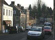
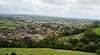
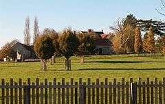
Mendip is a local government district of Somerset in England. The Mendip district covers a largely rural area of 285 square miles (738 km2)[1] ranging from the Mendip Hills through on to the Somerset Levels. It has a population of approximately 112,500.[1] The administrative centre of the district is Shepton Mallet but the largest town (three times larger than Shepton Mallet) is Frome.
The district was formed on 1 April 1974 under the Local Government Act 1972, by a merger of the municipal boroughs of Glastonbury and Wells, along with Frome, Shepton Mallet, Street urban districts, and Frome Rural District, Shepton Mallet Rural District, Wells Rural District, and part of Axbridge Rural District and part of Clutton Rural District.
Toponymy
Several explanations for the name "Mendip" have been suggested. Its earliest known form is Mendepe in 1185. One suggestion is that it is derived from the medieval term "Myne-deepes".[2][3] However, A D Mills derives its meaning from Celtic monith, meaning mountain or hill, with an uncertain second element, perhaps Old English yppe in the sense of upland, or plateau.[4]
An alternative explanation is that the name is cognate with Mened (Welsh mynydd), a Brythonic term for upland moorland. The suffix may be a contraction of the Anglo-Saxon hop, meaning a valley. Possible further meanings have been identified. The first is 'the stone pit' from the Celtic meyn and dyppa in reference to the collapsed cave systems of Cheddar. The second is 'Mighty and Awesome' from the Old English moen and deop.[5]
Governance
The district falls under the jurisdiction of Mendip District Council. As of the 2015 Local elections the Council remained under Conservative control.
| Party | Seats | Net Gain/Loss |
|---|---|---|
| Conservative | 32 | +2 |
| Liberal Democrat | 10 | -6 |
| Green | 3 | -3 |
| Independent | 2 | +2 |
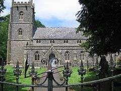
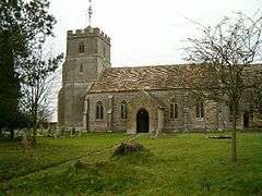
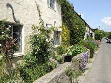
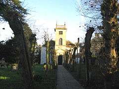
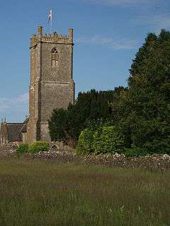
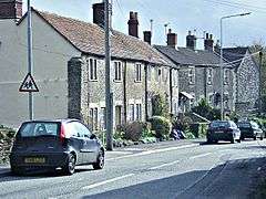
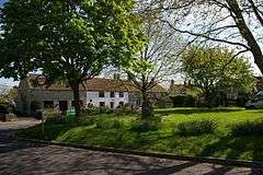
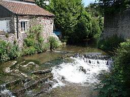
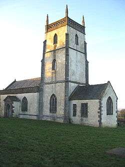
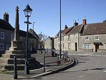
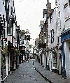
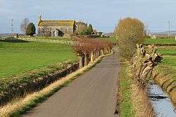
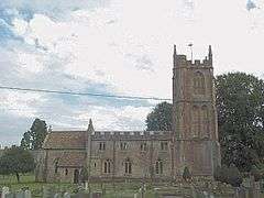
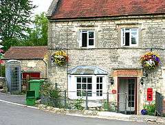
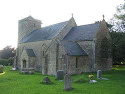
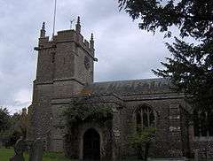
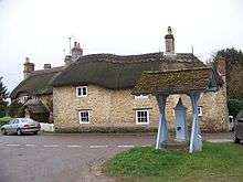
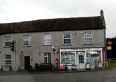
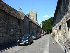
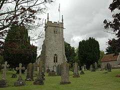
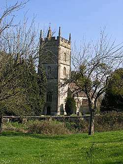
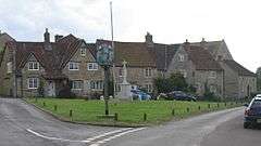
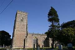
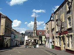
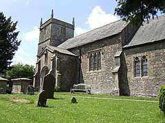
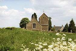
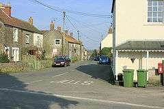
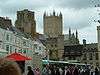
Settlements
The five main settlements in Mendip are:
Frome, Glastonbury and Shepton Mallet are the only towns in the district, as Wells has city status and Street has maintained its status as a village despite a population in excess of 11,000.[6]
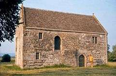
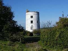
Other villages and hamlets include:
- Ashwick
- Baltonsborough - Batcombe - Beckington - Binegar - Bleadney - Bowlish - Buckland Dinham - Burcott - Butleigh - Butleigh Wootton
- Chantry - Charterhouse - Chelynch - Chesterblake - Chewton Mendip - Chilcompton - Coleford - Coxley - Cranmore - Croscombe
- Dean - Dinder - Ditcheat - Doulting - Draycott - Dulcote
- East Lydford - East Pennard - Easton - Emborough - Evercreech
- Farleigh Hungerford - Faulkland
- Godney - Great Elm - Green Ore
- Henton - Highbury - Holcombe - Hornblotton - Horrington
- Kilmersdon
- Lamyatt - Leigh-on-Mendip - Leighton - Litton - Lydford-on-Fosse
- Maesbury - Meare - Mells
- Nettlebridge - North Wootton - Norton St Philip - Nunney
- Oakhill - Oldford
- Pilton - Polsham - Prestleigh - Priddy - Pylle
- Rode - Rodney Stoke
- Southway - Standerwick - Ston Easton - Stratton-on-the-Fosse - Stoke St Michael - Stoney Stratton
- Thrupe - Trudoxhill
- Upton Noble
- Vobster
- Walton - Wanstrow - Waterlip - West Compton - West Lydford - West Pennard - West Woodlands - Westbury-sub-Mendip - Westcombe - Westhay - Whatley - Wookey - Wookey Hole - Worminster - Witham Friary
- Yarley
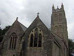
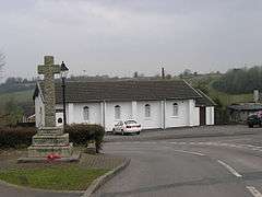
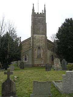
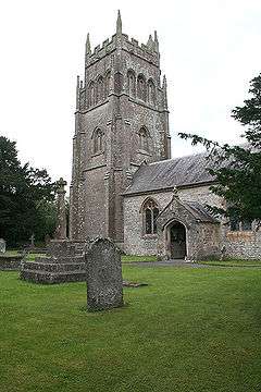
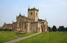
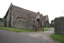
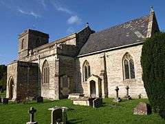
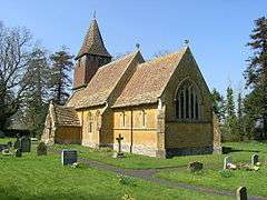
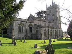
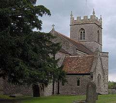
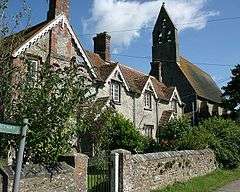
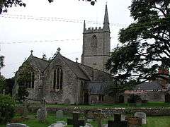
Parishes
.jpg)
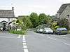
Transport
Major roads
Railways
Railway stations
- Frome railway station served by First Great Western on the Heart of Wessex Line and Reading to Taunton Line.
Railway stations
- Cranmore railway station
- Cranmore West railway station
- Merryfield Lane railway station
- Mendip Vale railway station
served by the East Somerset Railway.
Education
County schools (those which are not independent) in the five non-metropolitan districts of the county are operated by Somerset County Council.
For a full list of schools see: List of schools in Somerset
See also
References
- 1 2 "Somerset Intelligence Network" (PDF). Mendip District Council. Retrieved 2009-05-19.
- ↑ "Mendip Hills Natural Area profile" (PDF). English Nature. January 1998. Retrieved 2006-07-16.
- ↑ "Autumn newsletter 2007" (PDF). Mendip Hills AONB. Archived from the original (PDF) on 28 November 2007. Retrieved 2007-09-25.
- ↑ Dictionary of English Place Names
- ↑ Robinson, Stephen (1992). Somerset Place Names. Wimbourne: The Dovecote Press Ltd. ISBN 1-874336-03-2.
- ↑ "Street Parish Council". Street Parish Council. Retrieved 17 July 2012.
- ↑ Somerset County Council. Mendip Parish Population Statistics [archived 21 November 2009; Retrieved 3 July 2008].
- ↑ "Ashwick Parish". Neighbourhood Statistics. Office for National Statistics. Retrieved 1 January 2014.
- 1 2 3 4 5 6 7 8 9 10 11 12 13 14 15 16 17 18 "Shepton Mallet RD". A vision of Britain Through Time. University of Portsmouth. Retrieved 4 January 2014.
- ↑ "Baltonsborough Parish". Neighbourhood Statistics. Office for National Statistics. Retrieved 1 January 2014.
- 1 2 3 4 5 6 7 8 9 10 11 12 13 14 15 "Wells RD". A vision of Britain Through Time. University of Portsmouth. Retrieved 4 January 2014.
- ↑ "Batcombe Parish". Neighbourhood Statistics. Office for National Statistics. Retrieved 1 January 2014.
- ↑ "Beckington Parish". Neighbourhood Statistics. Office for National Statistics. Retrieved 1 January 2014.
- 1 2 3 4 5 6 7 8 9 10 11 12 13 14 15 16 17 18 19 20 21 "Frome RD". A vision of Britain Through Time. University of Portsmouth. Retrieved 4 January 2014.
- ↑ "Berkley Parish". Neighbourhood Statistics. Office for National Statistics. Retrieved 1 January 2014.
- ↑ "Binegar Parish". Neighbourhood Statistics. Office for National Statistics. Retrieved 1 January 2014.
- ↑ "Buckland Dinham Parish". Neighbourhood Statistics. Office for National Statistics. Retrieved 1 January 2014.
- ↑ "Butleigh Parish". Neighbourhood Statistics. Office for National Statistics. Retrieved 1 January 2014.
- ↑ "Chewton Mendip Parish". Neighbourhood Statistics. Office for National Statistics. Retrieved 1 January 2014.
- ↑ "Chilcompton Parish". Neighbourhood Statistics. Office for National Statistics. Retrieved 1 January 2014.
- 1 2 3 "Clutton RD". A vision of Britain Through Time. University of Portsmouth. Retrieved 4 January 2014.
- ↑ "Coleford Parish". Neighbourhood Statistics. Office for National Statistics. Retrieved 1 January 2014.
- ↑ "Cranmore Parish". Neighbourhood Statistics. Office for National Statistics. Retrieved 1 January 2014.
- ↑ "Croscombe Parish". Neighbourhood Statistics. Office for National Statistics. Retrieved 1 January 2014.
- ↑ "Ditcheat Parish". Neighbourhood Statistics. Office for National Statistics. Retrieved 1 January 2014.
- ↑ "Doulting Parish". Neighbourhood Statistics. Office for National Statistics. Retrieved 1 January 2014.
- ↑ "East Pennard Parish". Neighbourhood Statistics. Office for National Statistics. Retrieved 1 January 2014.
- ↑ "Emborough Parish". Neighbourhood Statistics. Office for National Statistics. Retrieved 1 January 2014.
- ↑ "Evercreech Parish". Neighbourhood Statistics. Office for National Statistics. Retrieved 1 January 2014.
- ↑ "Frome Parish". Neighbourhood Statistics. Office for National Statistics. Archived from the original on 2 January 2014. Retrieved 1 January 2014.
- ↑ "Glastonbury Parish". Neighbourhood Statistics. Office for National Statistics. Retrieved 1 January 2014.
- ↑ "Glastonbury MB". A vision of Britain Through Time. University of Portsmouth. Retrieved 4 January 2014.
- ↑ "Godney Parish". Neighbourhood Statistics. Office for National Statistics. Retrieved 1 January 2014.
- ↑ "Great Elm Parish". Neighbourhood Statistics. Office for National Statistics. Retrieved 1 January 2014.
- ↑ "Hemington Parish". Neighbourhood Statistics. Office for National Statistics. Retrieved 1 January 2014.
- ↑ "Holcombe Parish". Neighbourhood Statistics. Office for National Statistics. Retrieved 1 January 2014.
- ↑ "Kilmersdon Parish". Neighbourhood Statistics. Office for National Statistics. Retrieved 1 January 2014.
- ↑ "Lamyat Parish". Neighbourhood Statistics. Office for National Statistics. Retrieved 1 January 2014.
- ↑ "Leigh-on-Mendip Parish". Neighbourhood Statistics. Office for National Statistics. Archived from the original on 2 January 2014. Retrieved 1 January 2014.
- ↑ "Litton Parish". Neighbourhood Statistics. Office for National Statistics. Archived from the original on 2 January 2014. Retrieved 1 January 2014.
- ↑ "Lullington Parish". Neighbourhood Statistics. Office for National Statistics. Retrieved 1 January 2014.
- ↑ "Lydford-on-Fosse Parish". Neighbourhood Statistics. Office for National Statistics. Retrieved 1 January 2014.
- ↑ "Meare Parish". Neighbourhood Statistics. Office for National Statistics. Retrieved 1 January 2014.
- ↑ "Mells Parish". Neighbourhood Statistics. Office for National Statistics. Retrieved 1 January 2014.
- ↑ "North Wootton Parish". Neighbourhood Statistics. Office for National Statistics. Retrieved 1 January 2014.
- ↑ "Norton St Philip Parish". Neighbourhood Statistics. Office for National Statistics. Retrieved 1 January 2014.
- ↑ "Nunney Parish". Neighbourhood Statistics. Office for National Statistics. Retrieved 1 January 2014.
- ↑ "Pilton Parish". Neighbourhood Statistics. Office for National Statistics. Retrieved 1 January 2014.
- ↑ "Priddy Parish". Neighbourhood Statistics. Office for National Statistics. Retrieved 1 January 2014.
- ↑ "Pylle Parish". Neighbourhood Statistics. Office for National Statistics. Retrieved 1 January 2014.
- ↑ "Rode Parish". Neighbourhood Statistics. Office for National Statistics. Retrieved 1 January 2014.
- ↑ "Rodney Stoke Parish". Neighbourhood Statistics. Office for National Statistics. Retrieved 1 January 2014.
- ↑ "Selwood Parish". Neighbourhood Statistics. Office for National Statistics. Retrieved 1 January 2014.
- ↑ "Sharpham Parish". Neighbourhood Statistics. Office for National Statistics. Retrieved 1 January 2014.
- ↑ "Shepton Mallet Parish". Neighbourhood Statistics. Office for National Statistics. Retrieved 1 January 2014.
- ↑ "Shepton Mallet UD". A vision of Britain Through Time. University of Portsmouth. Retrieved 4 January 2014.
- ↑ "St Cuthbert Out Parish". Neighbourhood Statistics. Office for National Statistics. Retrieved 1 January 2014.
- ↑ "Stoke St Michael Parish". Neighbourhood Statistics. Office for National Statistics. Retrieved 1 January 2014.
- ↑ "Ston Easton Parish". Neighbourhood Statistics. Office for National Statistics. Retrieved 1 January 2014.
- ↑ "Stratton on the Fosse Parish". Neighbourhood Statistics. Office for National Statistics. Retrieved 1 January 2014.
- ↑ "Street Parish". Neighbourhood Statistics. Office for National Statistics. Retrieved 1 January 2014.
- ↑ "Street UD". A vision of Britain Through Time. University of Portsmouth. Retrieved 4 January 2014.
- ↑ "Tellisford Parish". Neighbourhood Statistics. Office for National Statistics. Retrieved 1 January 2014.
- ↑ "Trudoxhill Parish". Neighbourhood Statistics. Office for National Statistics. Retrieved 1 January 2014.
- ↑ "Upton Noble Parish". Neighbourhood Statistics. Office for National Statistics. Retrieved 1 January 2014.
- ↑ "Walton Parish". Neighbourhood Statistics. Office for National Statistics. Retrieved 1 January 2014.
- ↑ "Wanstrow Parish". Neighbourhood Statistics. Office for National Statistics. Retrieved 1 January 2014.
- ↑ "Wells Parish". Neighbourhood Statistics. Office for National Statistics. Retrieved 1 January 2014.
- ↑ "West Bradley Parish". Neighbourhood Statistics. Office for National Statistics. Retrieved 1 January 2014.
- ↑ "West Pennard Parish". Neighbourhood Statistics. Office for National Statistics. Retrieved 1 January 2014.
- ↑ "Westbury Parish". Neighbourhood Statistics. Office for National Statistics. Retrieved 1 January 2014.
- ↑ "Whatley Parish". Neighbourhood Statistics. Office for National Statistics. Retrieved 1 January 2014.
- ↑ "Witham Friary Parish". Neighbourhood Statistics. Office for National Statistics. Retrieved 1 January 2014.
- ↑ "Wookey Parish". Neighbourhood Statistics. Office for National Statistics. Retrieved 1 January 2014.
External links
- Mendip District Council
- Mendip at Curlie (based on DMOZ)
| Wikimedia Commons has media related to Mendip. |
