Sedgemoor
| Sedgemoor Sedgemoor District | ||
|---|---|---|
| Non-metropolitan district | ||
| ||
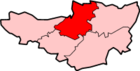
 Shown within Somerset | ||
| Sovereign state | United Kingdom | |
| Constituent country | England | |
| Region | South West England | |
| Ceremonial county | Somerset | |
| Admin HQ | Bridgwater | |
| Created | 1 April 1974 | |
| Government | ||
| • Type | Non-metropolitan district | |
| • Leader | Duncan McGinty | |
| • Council | Conservative | |
| • MPs: | Ian Liddell-Grainger C, James Heappey C | |
| Area | ||
| • Total | 217.90 sq mi (564.36 km2) | |
| Population (mid-2017 est.) | ||
| • Total | 122,200 (Ranked 187th) | |
| Time zone | UTC0 (GMT) | |
| • Summer (DST) | UTC+1 (BST) | |
| Post Code | TA5-9 | |
| Area code(s) | 01278 | |
| Website |
www | |
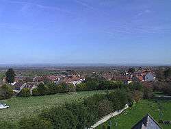
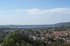
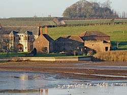
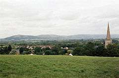
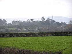
Sedgemoor is a low-lying area of land in Somerset, England. It lies close to sea level south of the Polden Hills, historically largely marsh (or "moor" in its older sense).[1] The eastern part is known as King's Sedgemoor, and the western part West Sedgemoor. Sedgemoor is part of the area now known as the Somerset Levels and Moors. Historically the area was known as the site of the Battle of Sedgemoor.
Sedgemoor has given its name to a local government district formed on 1 April 1974, under the Local Government Act 1972, by a merger of the municipal borough of Bridgwater, the Burnham-on-Sea urban district, Bridgwater Rural District and part of Axbridge Rural District. The district covers a larger area than the historical Sedgemoor, extending north of the Polden Hills across the Somerset Levels and Moors to the Mendip Hills.
Toponymy
Sedgemoor does not mean "sedge moor", but is instead "marsh of a man called Sicga" from the Old Norse personal name Sicga and Old English mor "moor".[2] The name was recorded as Secgamere in 1165.
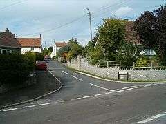
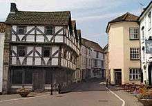
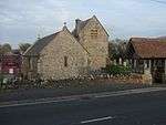
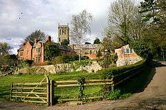
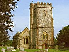
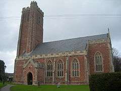
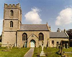
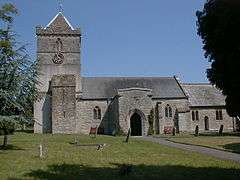
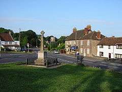
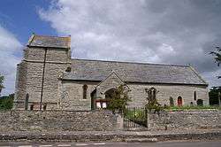
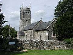
Towns
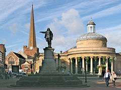
- Bridgwater – the administrative centre
- Burnham-on-Sea
- North Petherton
- Highbridge
- Axbridge
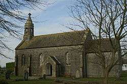
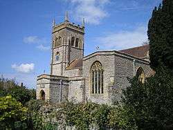
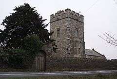
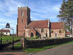
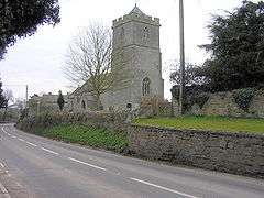
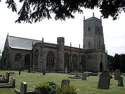
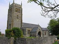
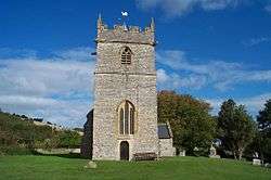
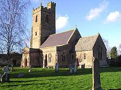
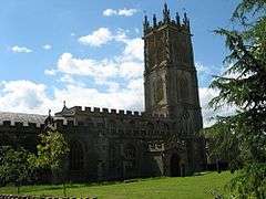
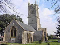
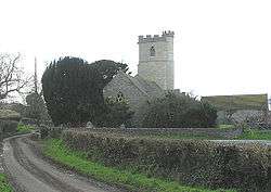
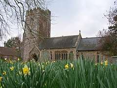
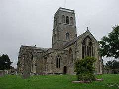
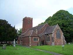
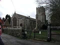
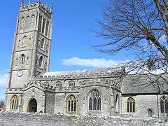
Parishes

Rivers
Battles
- Battle of Sedgemoor 1685
Industry
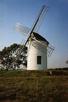
Light industry now predominates, but traditional trades including peat extraction, willow crafts and cider making may still be found, in addition to livestock farming. The River Parrett provides a source of eels (anguilla anguilla) and elvers from January through to May.
Also notable is the new Isleport trading estate at Highbridge, which houses many global businesses such as Geest (Isleport Foods) who make yoghurt under franchise to Ski & Muller, Brake Brothers who supply the catering trade, BFP wholesale who supply dry goods to bakeries etc., Woodbury & Haines who supply furniture globally, Polybeam Limited who supply GRP radio masts to customers such as Marconi, and also AT&T whose centre there controls all internet cable traffic to and from the US.
Industry in Bridgwater has also seen major growth recently with the opening of "Express Park" which houses Gerber Foods (a global fruit juice supplier), NHS Logistics depot and Eddie Stobart depot. South of Bridgwater, at Huntworth, is a large Somerfield depot which supplies their Somerfield and former Kwik Save stores in the south west.
Governance
Sedgemoor District Council
Sedgemoor District Council has traditionally been Conservative run since its creation in 1974 when it was merged with the old Bridgwater & Burnham-On-Sea Urban District Councils. Past voting trends have placed strong cores of Labour voters in Bridgwater Town, with Conservative support coming from the Villages such as Pawlett, Wedmore and Shipham. Liberal Democrats fared well in Burnham and Highbridge areas. In 1995, the Liberal Democrats and Labour took 26 seats together, out-numbering the Conservatives 24 seats, and they formed a coalition. This continued until 1999, when the Conservatives re-took Sedgemoor, crushing the Liberal Democrats from 12 seats, to just 2. The Liberal Democrats lost even their safe seat of Highbridge to Labour.
In 2000, a Conservative Councillor died, and a By-Election was called in his seat of Huntpsill and Pawlett. Previous Liberal Democrat Councillor Marilyn Wallace fought the seat, and re-took it with 56% of the vote, bringing the Liberal Democrats back up to 3 seats.
In 2003, the Conservatives extended their majority to 35 seats of 50, leaving the Liberal Democrats on just 1 Seat, Which was held by long term veteran Liberal Democrat, Mike Mansfield, who actually took the seat from the Conservatives in Burnham South, a previously Liberal Democrat safe seat. Labour remained on 14.
In 2007, the Conservatives held a status quo of 35 seats, however the Liberal Democrats gained 3 up to 4 total, all of which were in their traditional safe seat of Highbridge. This included the election of their youngest Councillor in the South west, Councillor Joe Leach, who was aged just 19 years. Mike Mansfield was elected Leader of the Liberal Democrat group, until the untimely death of his wife. Newly elected Councillor Danny Titcombe then was elected leader of the Group. on 14 April 2008, Cllr. Danny Titcombe announced his defection to the Conservative Party, effectively boosting their majority to 36 seats. Despite calls of resignation from all sides, Cllr. Titcombe continued in his role. At 20 Years old, Cllr Joe Leach became the youngest group Leader in the Country, and still continues to lead his party on the Council at 23. The Labour Party dropped to 11 seats, losing 2 in highbridge to the Liberal Democrats, and 1 in Bridgwater Bower to the Conservatives. The Conservatives lost 1 in Highbridge to the Liberal Democrats (before defection). In 2010, Woolavington Councillor Roger Lavers, who was the Labour Group Leader, died suddenly of a brain haemorrhage, triggering a by-election in the 1 Member ward, which saw Labour drop from holding the seat, to third behind the Liberal Democrats who hadn't stood in the seat since 1991, and the Conservatives gain the seat, boosting their total number to 37 of 50 councillors. Labour dropped to 10. Councillor Kathy Pearce, Labour member for Bridgwater Hamp, was elected as the new Labour group Leader.
In the 2011 Local Council elections, The Conservatives held the council with a reduced number of seats. Labour took back all Bridgwater seats except the Windham ward, and the Independents gained 2 seats at the expense of the Liberal Democrats, who held their leader's seat in Highbridge & Burnham Marine, and Burnham Central. Notable casualties included Vice-Chairman of the Council Mike Creswell, in Bridgwater Fairfax.
After the elections, Labour Leader Kathy Pearce stood down as Leader of the Opposition and Labour group, and was replaced by newly elected Councillor, Mick Lerry. In 2012, Liberal Democrat Leader, Joe Leach, resigned his seat on the council to pursue a new career path in Banking. His replacement was Councillor Helen Groves, who was the newly elected LibDem for Highbridge & Burnham Marine in the following by-election.
The Conservative Leader is Cllr. Duncan McGinty, who is also leader of council. He succeeded Cllr. John Lang in 2006.
The Labour Leader is Cllr. Mick Lerry, who succeeded Cllr. Kathy Pearce in 2011.
The Liberal Democrat Leader is Cllr. Helen Groves, who succeeded Cllr. Joe Leach in 2012.
| Party | Candidate | Votes | % | ± | |
|---|---|---|---|---|---|
| Conservative | Alison Hamlin | 264 | 44.8 | −4.0 | |
| Liberal Democrat | Tina Marsh | 184 | 31.2 | +31.2 | |
| Labour | Ian Tucker | 141 | 23.9 | −27.2 | |
| Majority | 80 | 14.8 | |||
| Turnout | 589 | 33 | |||
| Conservative gain from Labour | Swing | 12.8 | |||
| Party | Candidate | Votes | % | ± | |
|---|---|---|---|---|---|
| Liberal Democrat | Helen Groves | 379 | 30.6 | +4.5 | |
| Conservative | Bill Hancock | 288 | 23.3 | +6.1 | |
| Independent | Sally Williams | 253 | 20.5 | +20.5 | |
| Labour | Ricky Holcombe | 249 | 20.1 | +5.1 | |
| Independent | Purple Watkins | 68 | 5.5% | +5.5 | |
| Majority | 91 | 7.3 | |||
| Turnout | 1287 | 22.1 | |||
| Liberal Democrat hold | Swing | ||||
Members of UK parliament
The area is falls within the Bridgwater and West Somerset and Wells county constituencies which are represented in the House of Commons of the Parliament of the United Kingdom by the first past the post system of election. The current MP for Bridgewater and West Somerset is Ian Liddell-Grainger,[8] a Conservative; for Wells the MP is James Heappey, also a Conservative, who won the seat in 2015 from Tessa Munt, a Liberal Democrat.[9]
European parliament
Residents of Sedgemoor also form part of the electorate for the South West England constituency for elections to the European Parliament.[10]
Education
Schools (those which are not independent) in Sedgemoor are operated the Children & Young People's Directorate of Somerset County Council, although some such as The Kings of Wessex School in Cheddar have distanced themselves from the county council by opting for foundation status.
See also
References
- ↑ Robert Dunning (Editor) (2004). "Introduction". A History of the County of Somerset: Volume 8: The Poldens and the Levels. Institute of Historical Research. Retrieved 1 August 2011.
- ↑ "Sedgemoor District Council". Ethnic Multicultural Media Academy. Retrieved 4 August 2008.
- ↑ Somerset County Council. Sedgemoor parish population estimates for 2002; 2002 [archived 21 November 2009; Retrieved 17 October 2009].
- 1 2 3 4 5 6 7 8 9 10 11 12 13 14 15 16 17 18 19 20 21 22 23 24 25 26 27 28 29 30 31 32 33 34 35 36 37 38 39 40 41 42 43 44 45 46 47 48 49 50 51 52 53 "Statistics for Wards, LSOAs and Parishes – SUMMARY Profiles" (Excel). Somerset Intelligence. Retrieved 4 January 2014.
- 1 2 3 4 5 6 7 8 9 10 11 12 13 14 15 16 17 18 19 20 21 22 23 24 25 26 27 28 29 30 31 32 33 34 35 36 37 38 "Brdigwater RD". A vision of Britain Through Time. University of Portsmouth. Retrieved 4 January 2014.
- 1 2 3 4 5 6 7 8 9 10 11 12 13 14 15 "Axbridge RD". A vision of Britain Through Time. University of Portsmouth. Retrieved 4 January 2014.
- ↑ "Burnham UD". A vision of Britain Through Time. University of Portsmouth. Retrieved 4 January 2014.
- ↑ "Alphabetical List of Constituencies and Members of Parliament". House of Commons Information Office. Archived from the original on 17 January 2008. Retrieved 19 January 2008.
- ↑ "Wells". Election 2010. BBC News. Retrieved 7 May 2010.
- ↑ "UK MEPs for the South West". European Parliament UK Office. Archived from the original on 17 December 2007. Retrieved 11 January 2008.
External links
| Authority control |
|---|