Atkins Peak
| Atkins Peak | |
|---|---|
| Highest point | |
| Elevation | 10,928 ft (3,331 m) |
| Coordinates | 44°22′33″N 110°04′08″W / 44.3757786°N 110.0687992°WCoordinates: 44°22′33″N 110°04′08″W / 44.3757786°N 110.0687992°W [1] |
| Geography | |
| Location | Yellowstone National Park, Park County, Montana |
| Parent range | Absaroka Range |
Atkins Peak el. 10,928 feet (3,331 m)is a mountain peak in the eastern section of the Absaroka Range in Yellowstone National Park.
See also
Notes
Yellowstone National Park - Lake and Environs | ||
|---|---|---|
Historic structures and other attractions in the Yellowstone Lake, West Thumb, South and East Entrance areas | ||
| Structures and History | 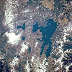 | |
| West Thumb Geyser Basin | ||
| Geography and Geology |
| |
This article is issued from
Wikipedia.
The text is licensed under Creative Commons - Attribution - Sharealike.
Additional terms may apply for the media files.