Mount Lander (Fremont County, Wyoming)
| Mount Lander | |
|---|---|
 Mount Lander Fremont County, Wyoming, U.S. | |
| Highest point | |
| Elevation | 12,623 ft (3,847 m) [1] |
| Prominence | 783 ft (239 m) [1] |
| Isolation | 2.3 miles [1] |
| Coordinates | 43°53′02″N 109°19′19″W / 43.88389°N 109.32194°WCoordinates: 43°53′02″N 109°19′19″W / 43.88389°N 109.32194°W [2] |
| Geography | |
| Location | Fremont County, Wyoming, U.S. |
| Parent range | Wind River Range |
| Topo map | USGS Roberts Mountain |
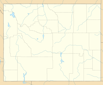
Mount Lander (12,623 ft (3,847 m)) is located in the central Wind River Range in the U.S. state of Wyoming.[3] Mount Lander is the highest point entirely within the Wind River Indian Reservation. The Lander Glacier consists of three distinct glaciers on the north and west slopes of Mount Lander, with the westernmost glacier being the largest. Baptiste Lake is 1 mi (1.6 km) long and is on the southeast base of Mount Lander and the famous northeast wall of Mount Hooker is another mile south of the lake.
References
- 1 2 3 "Moose Mountain, Wyoming". Peakbagger.com. Retrieved 2011-06-04.
- ↑ "Mount Lander". Geographic Names Information System. United States Geological Survey. Retrieved March 16, 2014.
- ↑ Mount Roberts, WY (Map). TopoQwest (United States Geological Survey Maps). Retrieved March 16, 2014.
This article is issued from
Wikipedia.
The text is licensed under Creative Commons - Attribution - Sharealike.
Additional terms may apply for the media files.