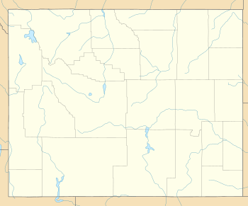
Traverse Peak
| Traverse Peak | |
|---|---|
 Traverse Peak | |
| Highest point | |
| Elevation | 11,056 ft (3,370 m) [1] |
| Prominence | 1,291 ft (393 m) [1] |
| Coordinates | 43°52′05″N 110°47′41″W / 43.86806°N 110.79472°WCoordinates: 43°52′05″N 110°47′41″W / 43.86806°N 110.79472°W [2] |
| Geography | |
| Location | Grand Teton National Park, Teton County, Wyoming, U.S. |
| Parent range | Teton Range |
| Topo map | USGS Mount Moran |
Traverse Peak (11,056 feet (3,370 m)) is in the northern Teton Range, Grand Teton National Park, Wyoming.[3] The mountain rises abruptly above Moran Canyon to the south and the south fork of Snowshoe Canyon to the north. From Moran Bay on Jackson Lake, the south slopes of the mountain can be seen behind Bivouac Peak rising above Moran Canyon.
References
- 1 2 "Traverse Peak, Wyoming". Peakbagger.com. Retrieved 2011-05-29.
- ↑ "Traverse Peak". Geographic Names Information System. United States Geological Survey. Retrieved 2011-05-29.
- ↑ Mount Moran, WY (Map). TopoQwest (United States Geological Survey Maps). Retrieved 2011-05-29.
This article is issued from
Wikipedia.
The text is licensed under Creative Commons - Attribution - Sharealike.
Additional terms may apply for the media files.