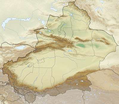
Depsang Plains
The Depsang Plains are located at the Line of Actual Control that separates the Indian and Chinese controlled regions.[1][2] The Chinese Army occupied most of the plains in 1962.[2] India controls the western portion of the plains as part of Ladakh, whereas the eastern portion is part of the Aksai Chin region, which is controlled by China and claimed by India.[3] In April 2013, the Chinese PLA troops set up a temporary camp in the Depsang Bulge, but later withdrew as a result of a diplomatic agreement with India.[4][5][6][7][8]
| Depsang Plains | |
|---|---|
 Depsang Plains  Depsang Plains | |
| Geography | |
| Coordinates | 35.3°N 78°E |
| Depsang Plains | |||||||
|---|---|---|---|---|---|---|---|
| Traditional Chinese | 達普桑平地 | ||||||
| Simplified Chinese | 达普桑平地 | ||||||
| |||||||
References
- "Ladakh incursion: India turns to diplomacy to counter belligerent China amid border stand-off : North, News - India Today". Indiatoday.intoday.in. 2013-04-25. Retrieved 2014-03-15.
- Manoj Joshi (2013-05-07). "Making sense of the Depsang incursion". The Hindu. Retrieved 2014-03-15.
- "Khurshid to visit China on May 9, no date for flag meet". Hindustan Times. 2013-04-25. Retrieved 2014-03-15.
- "Chinese incursion 19km, but 750 sq km at stake for India - The Times of India". Articles.timesofindia.indiatimes.com. 2013-05-02. Retrieved 2014-03-15.
- "China puts pre-conditions to pull back, wants India to give up its posts". Indian Express. 2013-04-24. Retrieved 2014-03-15.
- "Depsang Bulge incursion accidental, Chinese military thinktank says - The Times of India". Articles.timesofindia.indiatimes.com. 2013-07-15. Retrieved 2014-03-15.
- Praveen Swami (29 April 2013). "China's Ladakh intrusion: Two maps tell this dangerous story". Firstpost.
- "Let's shake hands: 20 days on, China withdraws troops from Ladakh : India, News - India Today". Indiatoday.intoday.in. 2013-05-05. Retrieved 2014-03-15.
This article is issued from Wikipedia. The text is licensed under Creative Commons - Attribution - Sharealike. Additional terms may apply for the media files.