Tateshina, Nagano
| Tateshina 立科町 | |||
|---|---|---|---|
| Town | |||
 Tateshina Town Hall | |||
| |||
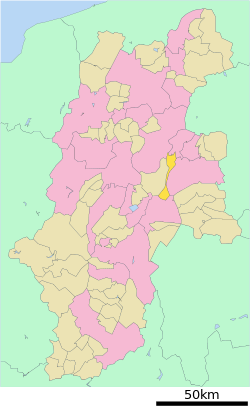 Location of Tateshina in Nagano Prefecture | |||
 Tateshina | |||
| Coordinates: 36°16′19.2″N 138°18′57.3″E / 36.272000°N 138.315917°ECoordinates: 36°16′19.2″N 138°18′57.3″E / 36.272000°N 138.315917°E | |||
| Country | Japan | ||
| Region | Chūbu (Kōshin'etsu) | ||
| Prefecture | Nagano | ||
| District | Kitasaku | ||
| Area | |||
| • Total | 66.87 km2 (25.82 sq mi) | ||
| Population (October 2016) | |||
| • Total | 7,189 | ||
| • Density | 108/km2 (280/sq mi) | ||
| Time zone | UTC+9 (Japan Standard Time) | ||
| Symbols | |||
| • Tree | Betula platyphylla | ||
| • Flower | Lily of the valley | ||
| • Bird | Green pheasant | ||
| Phone number | 0267-57-2311 | ||
| Address | 2532 Ashida, Tateshina-machi, Kitasaku-gun, Nagano-ken 384-2305, Japan | ||
| Website | http://www.town.tateshina.nagano.jp/ | ||


Tateshina (立科町 Tateshina-machi) is a town located in Nagano Prefecture, Japan. As of 1 October 2016, the town had an estimated population of 7,189, and a population density of 108 persons per km². Its total area is 66.87 square kilometres (25.82 sq mi). Tateshina is famous for its apple orchards.
Geography
Tateshina is located in mountainous central Nagano Prefecture.
Surrounding municipalities
History
The area of present-day Tateshina was part of ancient Shinano Province, and developed as a post station on the Nakasendō highway connecting Edo with Kyoto.
The modern village of Tateshina was created with the establishment of the municipalities system on April 1, 1889. It was raised to town status on October 1, 1953.
Education
Tateshina has one public elementary school and one public middle school operated by the town government, and one high school operated the Nagano Prefectural Board of Education.
Transportation
Railway
- The town does not have any passenger rail service.
Highway
Local attractions

Local attractions
- Ashida-shuku, post station on the Nakasendo
References
External links

- Official Website (in Japanese)
| Core city | |
|---|---|
| Special city | |
| Cities | |
| Districts | |