Raceview, Queensland
| Raceview Ipswich, Queensland | |||||||||||||||
|---|---|---|---|---|---|---|---|---|---|---|---|---|---|---|---|
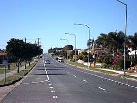 Edwards Street, 2016 | |||||||||||||||
| Population | 9,721 (2016 census)[1] | ||||||||||||||
| Postcode(s) | 4305 | ||||||||||||||
| Location | |||||||||||||||
| LGA(s) | City of Ipswich | ||||||||||||||
| State electorate(s) | Ipswich | ||||||||||||||
| Federal Division(s) | Blair | ||||||||||||||
| |||||||||||||||
Raceview is a suburb in the City of Ipswich, Queensland, Australia.[2] At the 2016 Australian Census the suburb recorded a population of 9,721.[1]
Geography
The Cunningham Highway passes through the east of Raceview.
History
The origin of the suburb name is from an early racecourse in the area which was located at the end of Grange Road.[2]
Education
References
- 1 2 Australian Bureau of Statistics (27 June 2017). "Raceview (State Suburb)". 2016 Census QuickStats. Retrieved 25 March 2018.

- 1 2 "Raceview - suburb (entry 45071)". Queensland Place Names. Queensland Government. Retrieved 22 June 2017.
- ↑ "Opening and closing dates of Queensland schools". Department of Education and Training. Queensland Government. 1 August 2013. Retrieved 24 January 2017.
- ↑ "Opening and closing dates of Queensland schools". Department of Education and Training. Queensland Government. 16 August 2013. Retrieved 24 January 2017.
External links
Coordinates: 27°38′S 152°47′E / 27.633°S 152.783°E
This article is issued from
Wikipedia.
The text is licensed under Creative Commons - Attribution - Sharealike.
Additional terms may apply for the media files.