North Booval, Queensland
| North Booval Ipswich, Queensland | |||||||||||||||
|---|---|---|---|---|---|---|---|---|---|---|---|---|---|---|---|
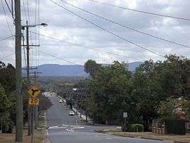 North Station Road, 2015 | |||||||||||||||
| Population | 3,175 (2016 census)[1] | ||||||||||||||
| Postcode(s) | 4304 | ||||||||||||||
| Location | |||||||||||||||
| LGA(s) | City of Ipswich | ||||||||||||||
| State electorate(s) | Ipswich | ||||||||||||||
| Federal Division(s) | Blair | ||||||||||||||
| |||||||||||||||
North Booval is a suburb of Ipswich, Queensland, Australia. At the 2016 Australian Census, the suburb recorded a population of 3,175.[1] North Booval is largely defined by the courses of the Bremer River and Bundamba Creek between which it lies; and the Main Line railway.
Transport
North Booval is serviced by Booval railway station, which is located on its southern border.
Parks and sports facilities
- MJ Kinnane Park
- Rossner-Gibney Park
- Jack Barkley Park
- Fail Park
Places of worship
- Trinity Uniting Church, Jacaranda Street
- Vision Christian Family, Gledson Street
References
- 1 2 Australian Bureau of Statistics (27 June 2017). "North Booval (State Suburb)". 2016 Census QuickStats. Retrieved 25 March 2018.

External links
| Wikimedia Commons has media related to North Booval, Queensland. |
Coordinates: 27°36′S 152°47′E / 27.600°S 152.783°E
This article is issued from
Wikipedia.
The text is licensed under Creative Commons - Attribution - Sharealike.
Additional terms may apply for the media files.