Churchill, Queensland
| Churchill Ipswich, Queensland | |||||||||||||||
|---|---|---|---|---|---|---|---|---|---|---|---|---|---|---|---|
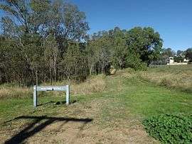 Mary Evans Reserve, 2016 | |||||||||||||||
| Population | 1,860 (2016 census)[1] | ||||||||||||||
| Postcode(s) | 4305 | ||||||||||||||
| Location | |||||||||||||||
| LGA(s) | City of Ipswich | ||||||||||||||
| State electorate(s) | Ipswich | ||||||||||||||
| Federal Division(s) | Blair | ||||||||||||||
| |||||||||||||||
Churchill is a suburb of Ipswich, Queensland, Australia. At the 2016 Australian Census, the suburb recorded a population of 1,860.[1]
The western boundary is marked by the Bremer River, while the eastern boundary follows Deebing Creek.
Education
- Churchill State School
- Bremer State High School
References
- 1 2 Australian Bureau of Statistics (27 June 2017). "Churchill (State Suburb)". 2016 Census QuickStats. Retrieved 25 March 2018.

External links
Coordinates: 27°38′07″S 152°45′04″E / 27.63528°S 152.75111°E
This article is issued from
Wikipedia.
The text is licensed under Creative Commons - Attribution - Sharealike.
Additional terms may apply for the media files.