Ironbark, Queensland
| Ironbark Ipswich, Queensland | |||||||||||||||
|---|---|---|---|---|---|---|---|---|---|---|---|---|---|---|---|
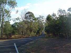 Beethams Road, 2014 | |||||||||||||||
| Population | 604 (2016 census)[1] | ||||||||||||||
| Postcode(s) | 4306 | ||||||||||||||
| Location | |||||||||||||||
| LGA(s) | City of Ipswich | ||||||||||||||
| State electorate(s) | Ipswich West | ||||||||||||||
| Federal Division(s) | Blair | ||||||||||||||
| |||||||||||||||
Ironbark is a suburb of Ipswich, Queensland, Australia. At the 2016 Australian Census, the suburb recorded a population of 604.[1]
The eastern boundary of Ironbark is marked by the Brisbane Valley Highway and the southern boundary follows the Warrego Highway.
References
- 1 2 Australian Bureau of Statistics (27 June 2017). "Ironbark (QLD) (State Suburb)". 2016 Census QuickStats. Retrieved 25 March 2018.

External links
| Wikimedia Commons has media related to Ironbark, Queensland. |
Coordinates: 27°33′19″S 152°40′29″E / 27.55528°S 152.67472°E
This article is issued from
Wikipedia.
The text is licensed under Creative Commons - Attribution - Sharealike.
Additional terms may apply for the media files.