Oradour-sur-Vayres
| Oradour-sur-Vayres | |
|---|---|
| Commune | |
 Oradour-sur-Vayres Location within Nouvelle-Aquitaine region  Oradour-sur-Vayres | |
| Coordinates: 45°44′00″N 0°52′04″E / 45.7333°N 0.8678°ECoordinates: 45°44′00″N 0°52′04″E / 45.7333°N 0.8678°E | |
| Country | France |
| Region | Nouvelle-Aquitaine |
| Department | Haute-Vienne |
| Arrondissement | Rochechouart |
| Canton | Rochechouart |
| Intercommunality | Bandiat Tardoire Avenir |
| Government | |
| • Mayor (2014–2020) | Guy Ratinaud |
| Area1 | 39.09 km2 (15.09 sq mi) |
| Population (2006)2 | 1,558 |
| • Density | 40/km2 (100/sq mi) |
| Time zone | UTC+1 (CET) |
| • Summer (DST) | UTC+2 (CEST) |
| INSEE/Postal code | 87111 /87150 |
| Elevation | 246–370 m (807–1,214 ft) |
| Website | http://www.oradour-sur-vayres.fr |
|
1 French Land Register data, which excludes lakes, ponds, glaciers > 1 km2 (0.386 sq mi or 247 acres) and river estuaries. 2 Population without double counting: residents of multiple communes (e.g., students and military personnel) only counted once. | |
Oradour-sur-Vayres (Occitan: Orador (de Vairas)) is a commune in the Haute-Vienne department in the Nouvelle-Aquitaine region in west-central France.
History
The Oradour-sur-Glane Massacre
The Oradour-sur-Glane massacre occurred based on erroneous intelligence indicating that villagers were holding a German SS officer, who was being held in Oradour-sur-Vayres.[1]
Gallery
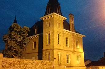 Back of town hall
See also
References
External Links
| Wikimedia Commons has media related to Oradour-sur-Vayres. |
This article is issued from
Wikipedia.
The text is licensed under Creative Commons - Attribution - Sharealike.
Additional terms may apply for the media files.