Pageas
| Pageas | |
|---|---|
| Commune | |
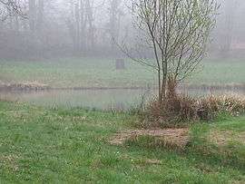 Countryside in Pageas | |
 Pageas Location within Nouvelle-Aquitaine region  Pageas | |
| Coordinates: 45°40′43″N 1°00′02″E / 45.6786°N 1.0006°ECoordinates: 45°40′43″N 1°00′02″E / 45.6786°N 1.0006°E | |
| Country | France |
| Region | Nouvelle-Aquitaine |
| Department | Haute-Vienne |
| Arrondissement | Limoges |
| Canton | Saint-Yrieix-la-Perche |
| Intercommunality | Monts de Châlus |
| Government | |
| • Mayor (2008–2014) | Philippe Dubeau |
| Area1 | 27.76 km2 (10.72 sq mi) |
| Population (2006)2 | 625 |
| • Density | 23/km2 (58/sq mi) |
| Time zone | UTC+1 (CET) |
| • Summer (DST) | UTC+2 (CEST) |
| INSEE/Postal code | 87112 /87230 |
| Elevation | 288–520 m (945–1,706 ft) |
|
1 French Land Register data, which excludes lakes, ponds, glaciers > 1 km2 (0.386 sq mi or 247 acres) and river estuaries. 2 Population without double counting: residents of multiple communes (e.g., students and military personnel) only counted once. | |
Pageas (Occitan: Pajas) is a commune in the Haute-Vienne department in the Nouvelle-Aquitaine region in west-central France.
Inhabitants are known as Pageaciens.
See also
References
| Wikimedia Commons has media related to Pageas. |
This article is issued from
Wikipedia.
The text is licensed under Creative Commons - Attribution - Sharealike.
Additional terms may apply for the media files.